Parallel Index
The cheapest, fastest, most reliable way to know you're on track in a restricted waterway.
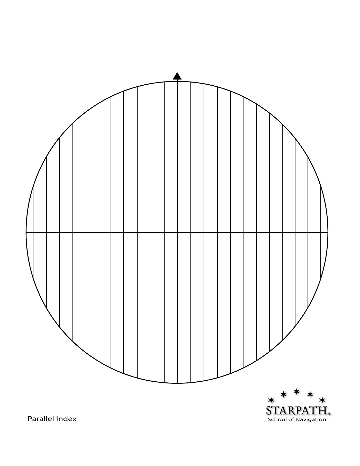
What it is
A parallel index is a pre-drawn line on the radar display, parallel to your intended track and offset by a known distance. As you proceed up the channel, charted point-features (a buoy, an islet, a headland, a navigation light) should slide along that line. If they slide off it — to one side or the other — you've drifted off track in real time, and the deviation is immediately quantified by the offset.
The technique works because: (a) at radar's 1–6 nm range a small-craft track is essentially straight; (b) on a north-up display, a line drawn at a fixed offset from the centerline corresponds to a real-world parallel line on the chart; (c) a charted feature you're navigating past (not toward) traces the relative motion of an object that's stationary while you move along your track.
Setting up an index line
- Be on a stabilized north-up display (so your intended track has a fixed orientation on screen).
- Pick a charted point-feature ahead of you that you'll pass abeam — e.g. a buoy at the far edge of a channel, a navigation light on a headland.
- From the chart, measure the perpendicular distance between your intended track and that feature. Call it D.
- On the radar, draw (or set, on modern sets) an index line parallel to your heading line, offset by D, on the side where the feature lies. Most modern radars have an electronic parallel-line cursor (PLC) for this.
- As you proceed, the buoy's paint should move along that index line. If it drifts inboard, you've turned toward it (drifted left for a starboard-side feature); outboard, you've turned away. Adjust to bring it back onto the line.
Multi-leg passages
In a narrow channel with several turns, set multiple parallel index lines — one for each leg, each referenced to a different charted feature. As you turn at each waypoint, you swap which feature you're tracking and which index line is "live." The 1-page reference card linked above shows a typical four-leg layout for a harbor approach.
Best practice: walk through the index plan before you enter the channel. List the features in order, the offsets, and which side they should pass. In daylight from a sailboat cockpit this is a 2-minute task; in fog with traffic it would be hopeless to set up on the fly.
Why it beats GPS in restricted waters
- Latency. Parallel index gives you the deviation now, not via a chartplotter that may update every second.
- Independence. If GPS is jammed, glitched, or your chartplotter has hung, the radar parallel index keeps working off real-world targets.
- Spatial intuition. You're literally watching the buoy slide past you on screen. There's no abstraction layer between observation and decision.
- Datum-proof. Charts have datum errors; GPS-to-chart alignment is sometimes off by 50–100 m in older surveys. Parallel index uses real radar returns of real objects in real time, which is its own datum.
Limitations
- Requires a radar-conspicuous reference object. A small unlit buoy may not paint at adequate range. Use lighted aids, headlands with corner reflectors, or RACONs where possible.
- Range is limited to ~6 nm in practice — the close-range accuracy you need degrades rapidly beyond that with beam-width effects.
- Not effective in heavy clutter (hard to see the reference target in rain).
- Requires a fairly straight track — if the channel curves significantly, you need to switch reference features at the curve.
Practical takeaways
- The world's least-used radar feature. Most cruisers have parallel-index cursor controls they've never touched. Practice in clear weather so you actually use it in fog.
- Start with one line. A single index line for the longest leg of your harbor entry is 80% of the value, 20% of the setup work.
- Combine with chart radar overlay if you have it. Modern chartplotter-radars draw the chart and the radar in the same window; parallel index is the missing real-time deviation indicator on top.
- Standard maritime examination question: "Describe how you would use parallel-index techniques to safely navigate a narrow channel in fog." Memorize the 5-step setup above.