Med Trip — April 2026
Offline snapshot · 6 dates on disk · latest fetched Sat, 17 Oct 2026 18:42:45 GMT (0.0 hr old)
Voyage
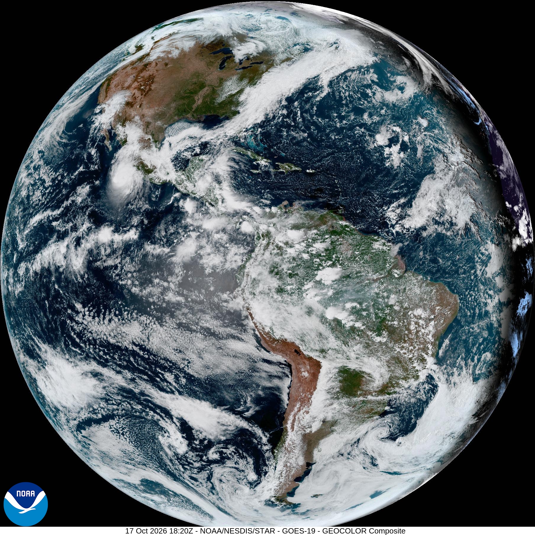
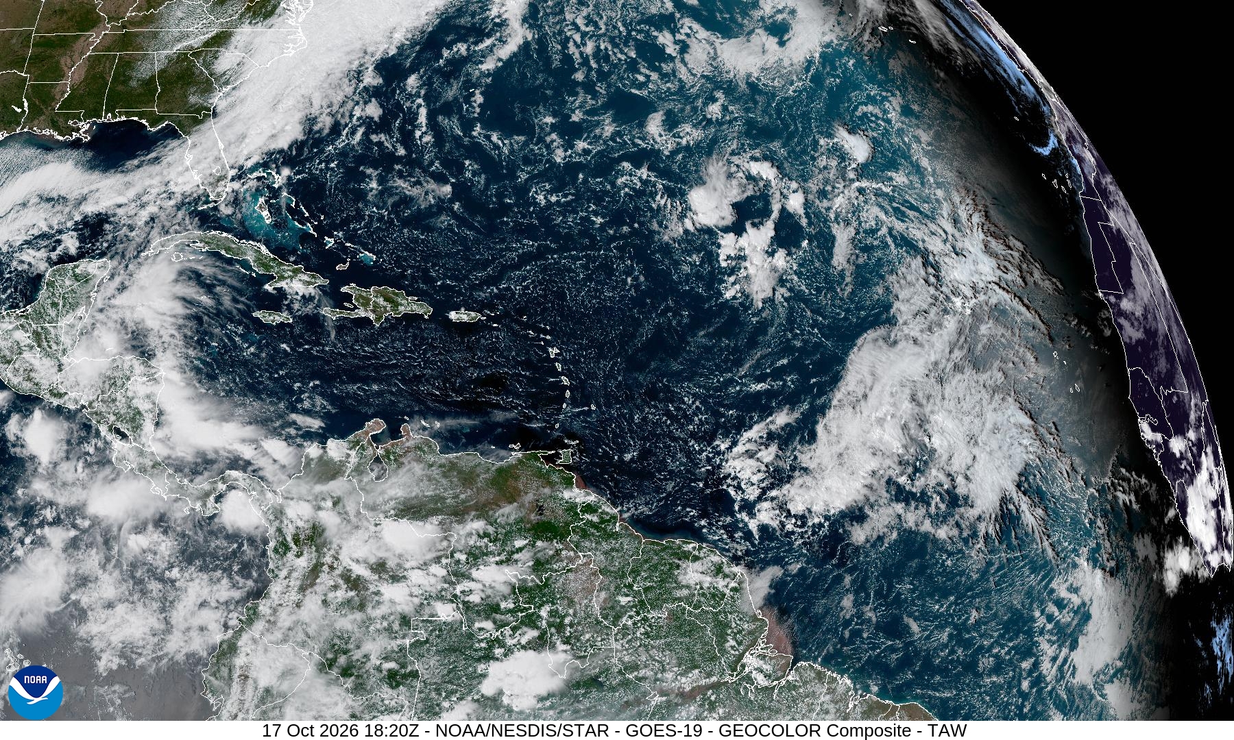
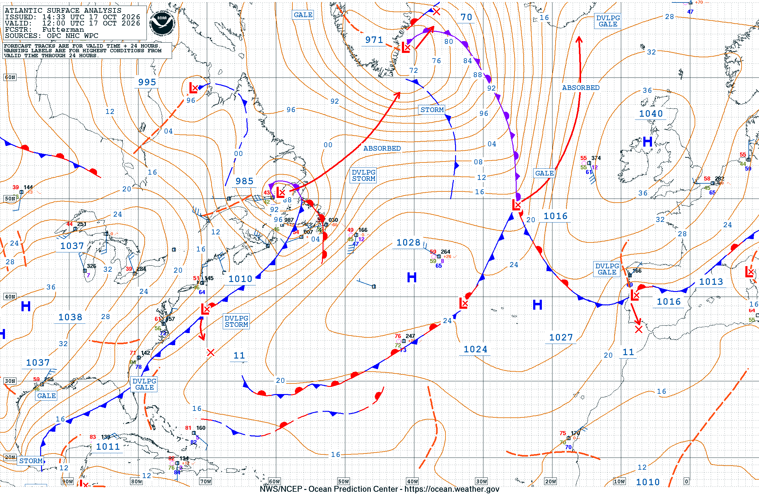
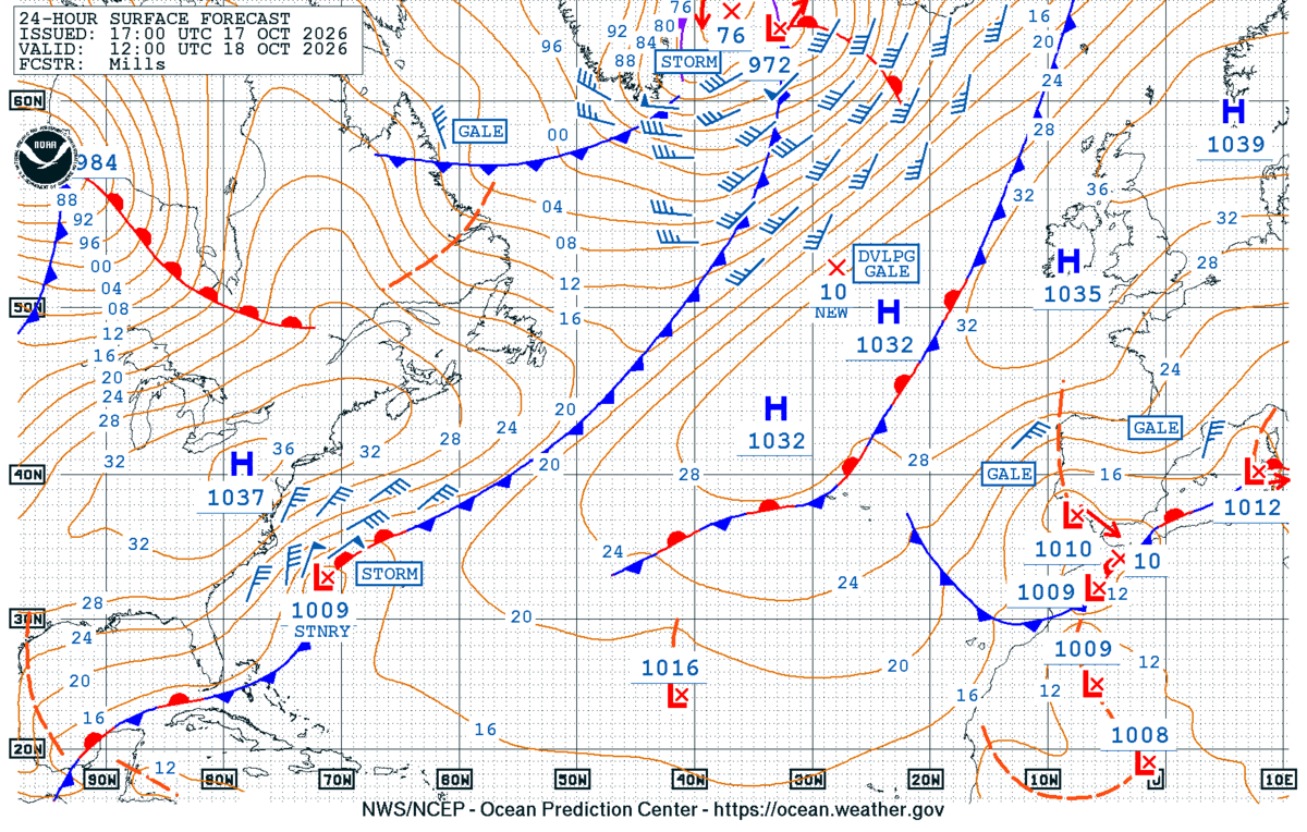
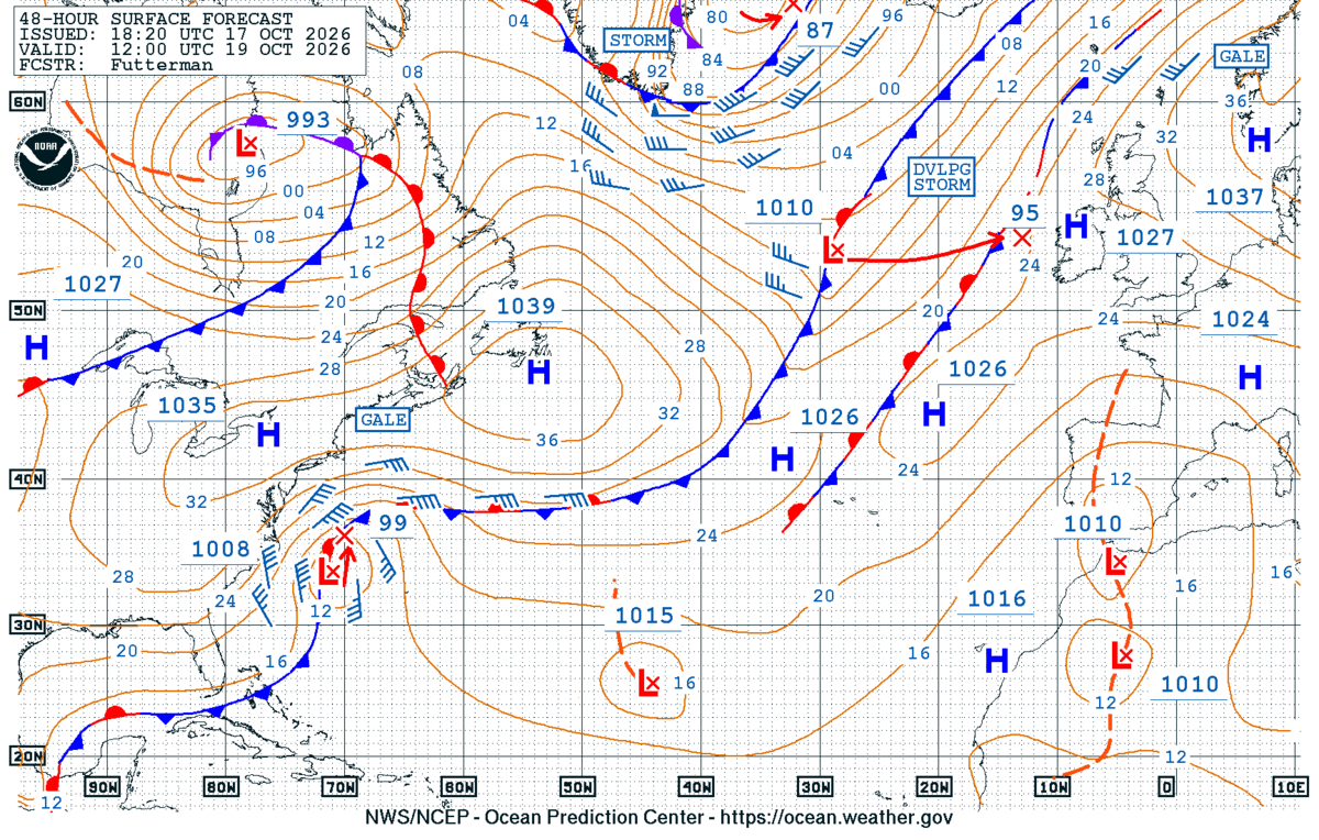
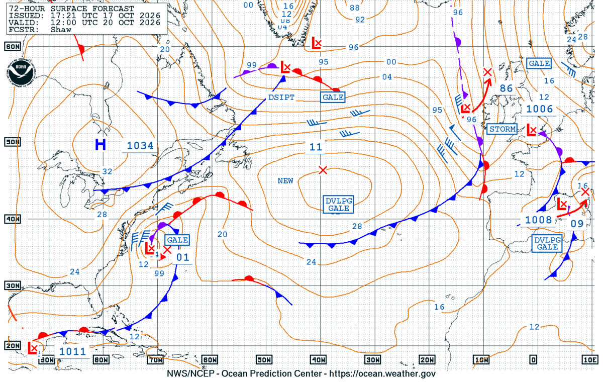
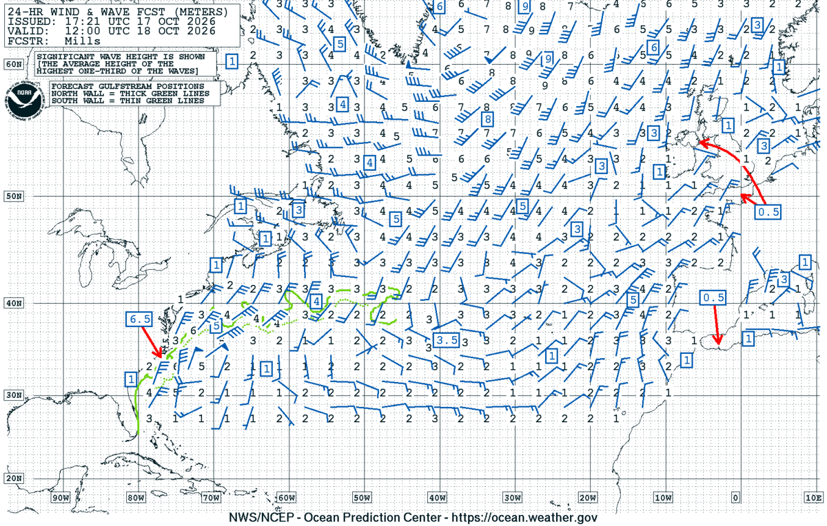
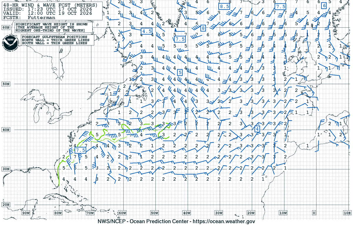
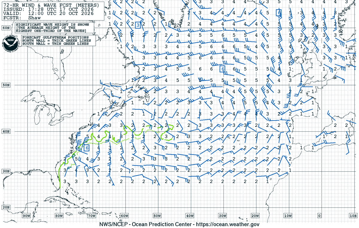
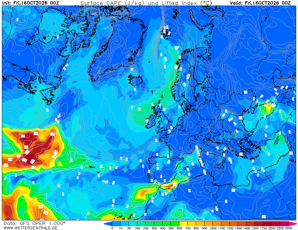
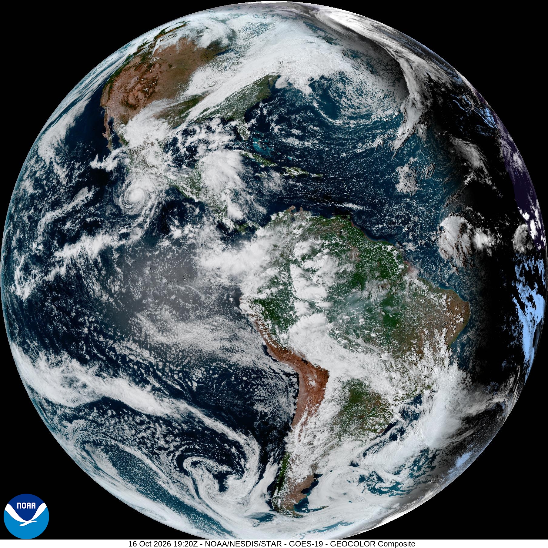
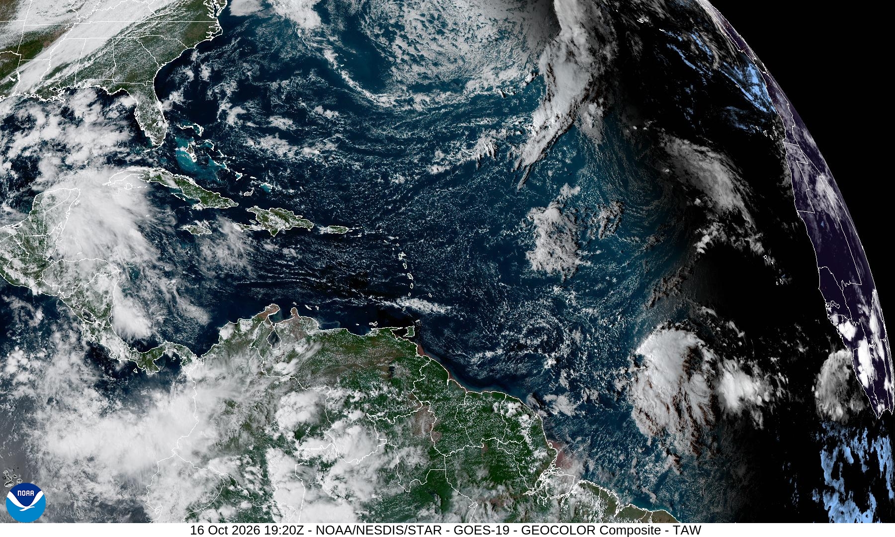
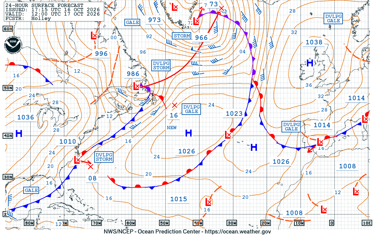
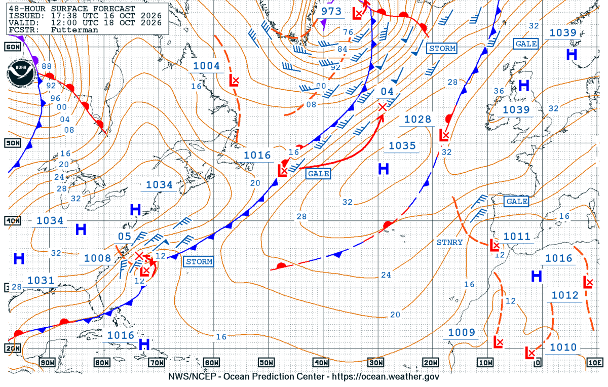
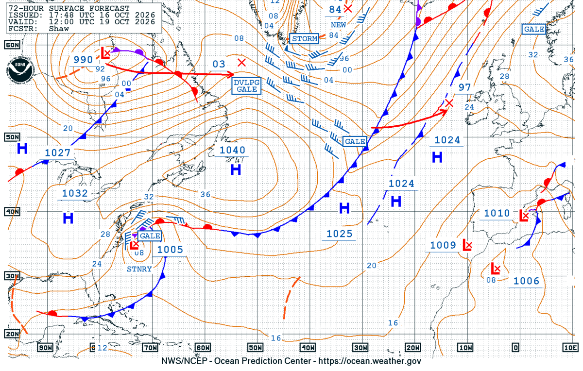
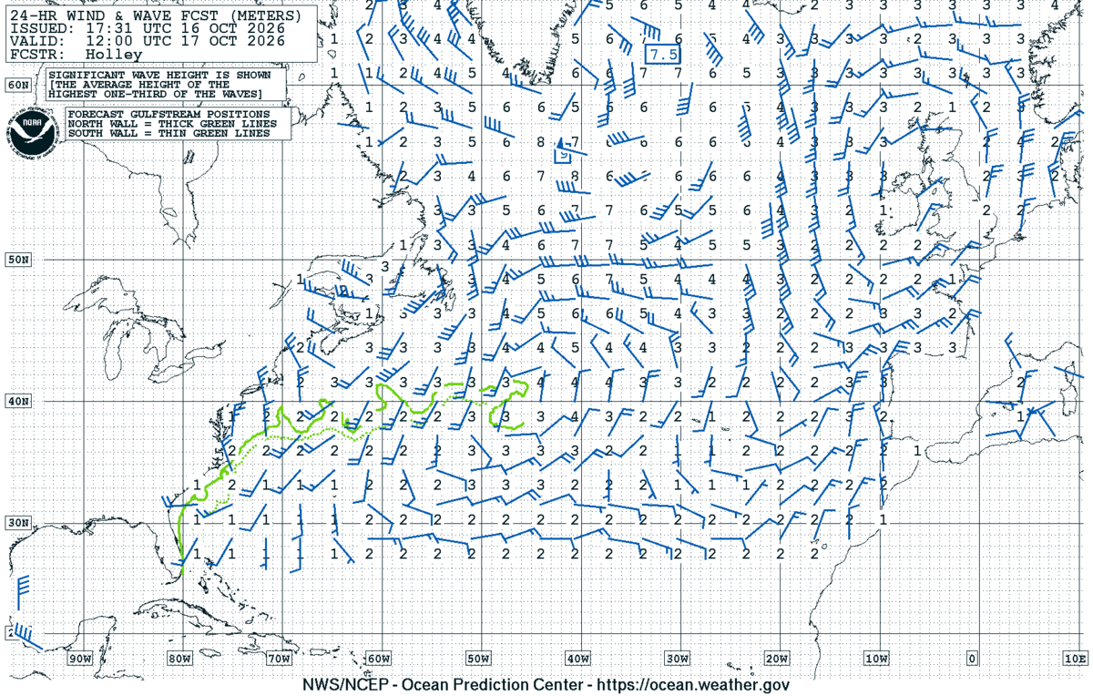
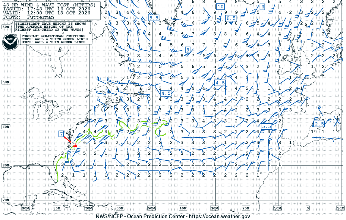
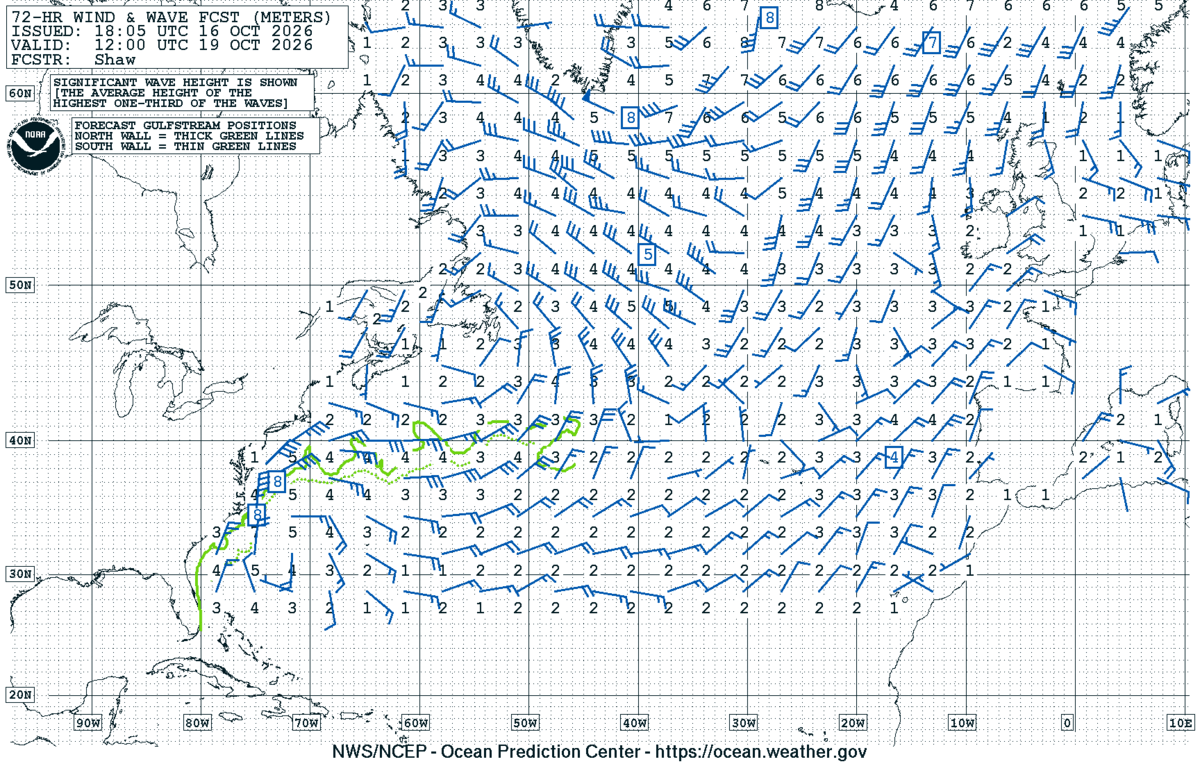
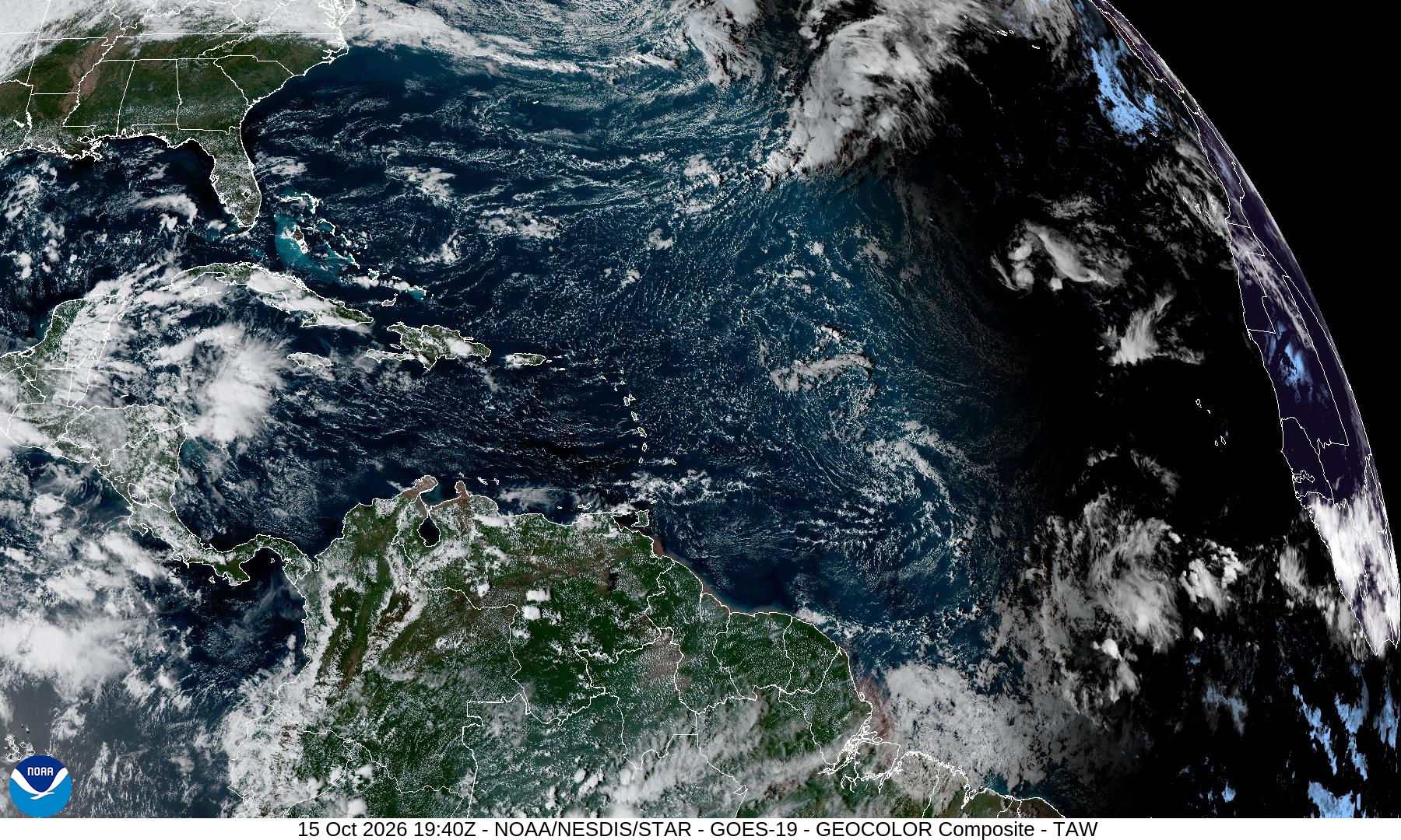
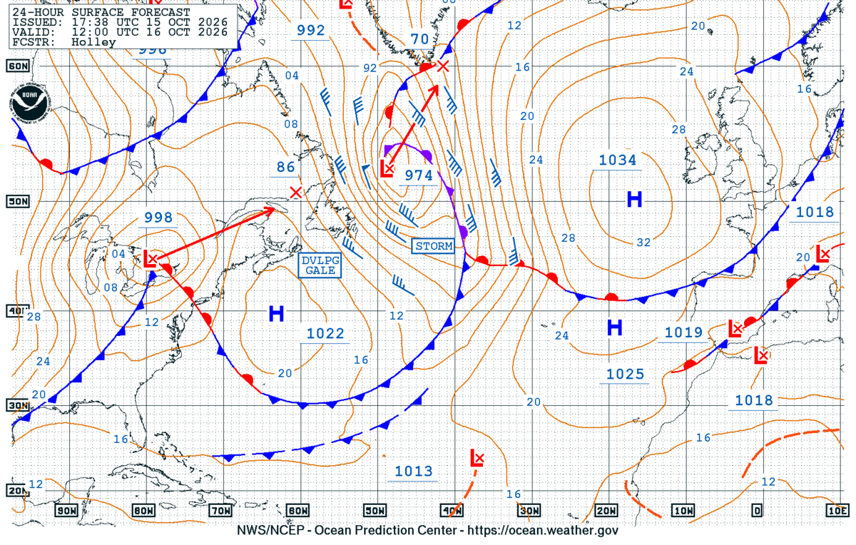
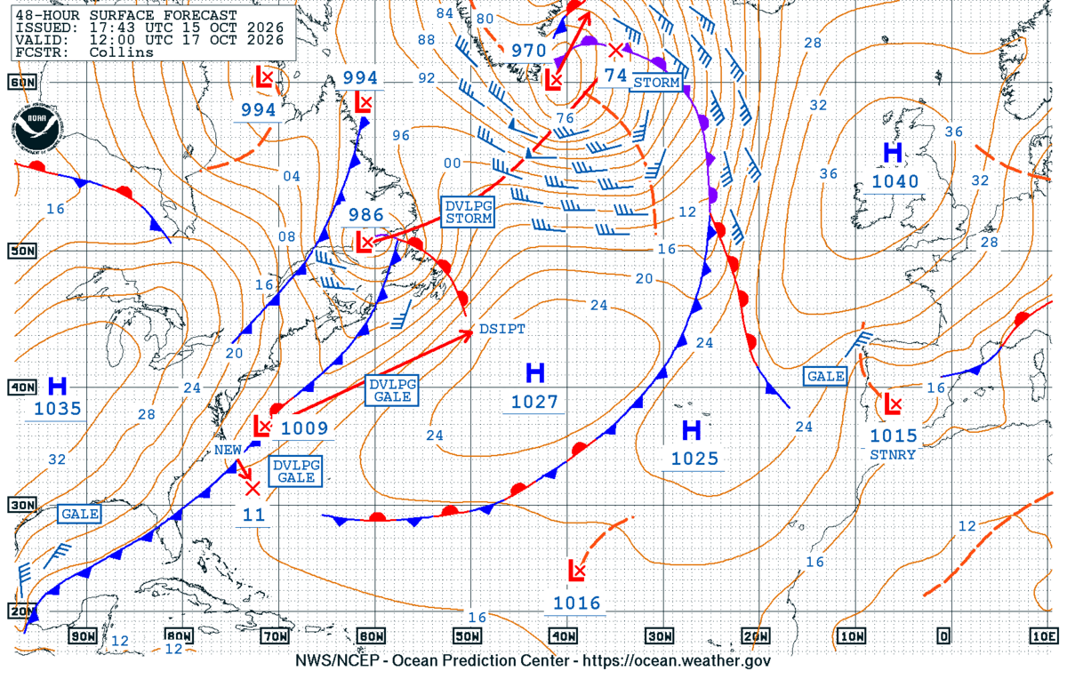
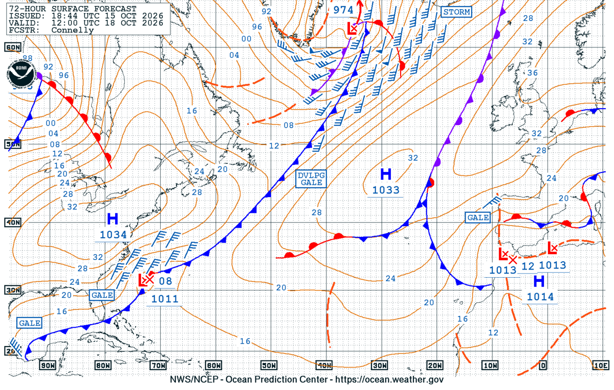
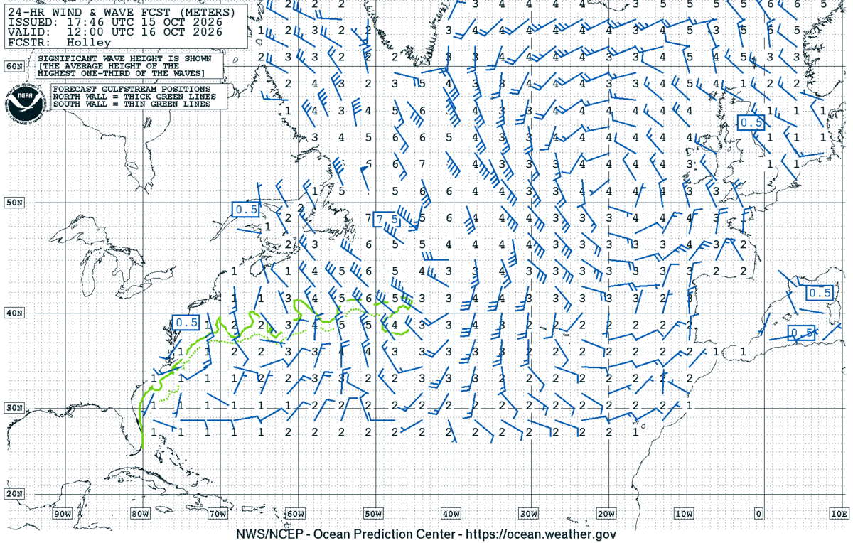
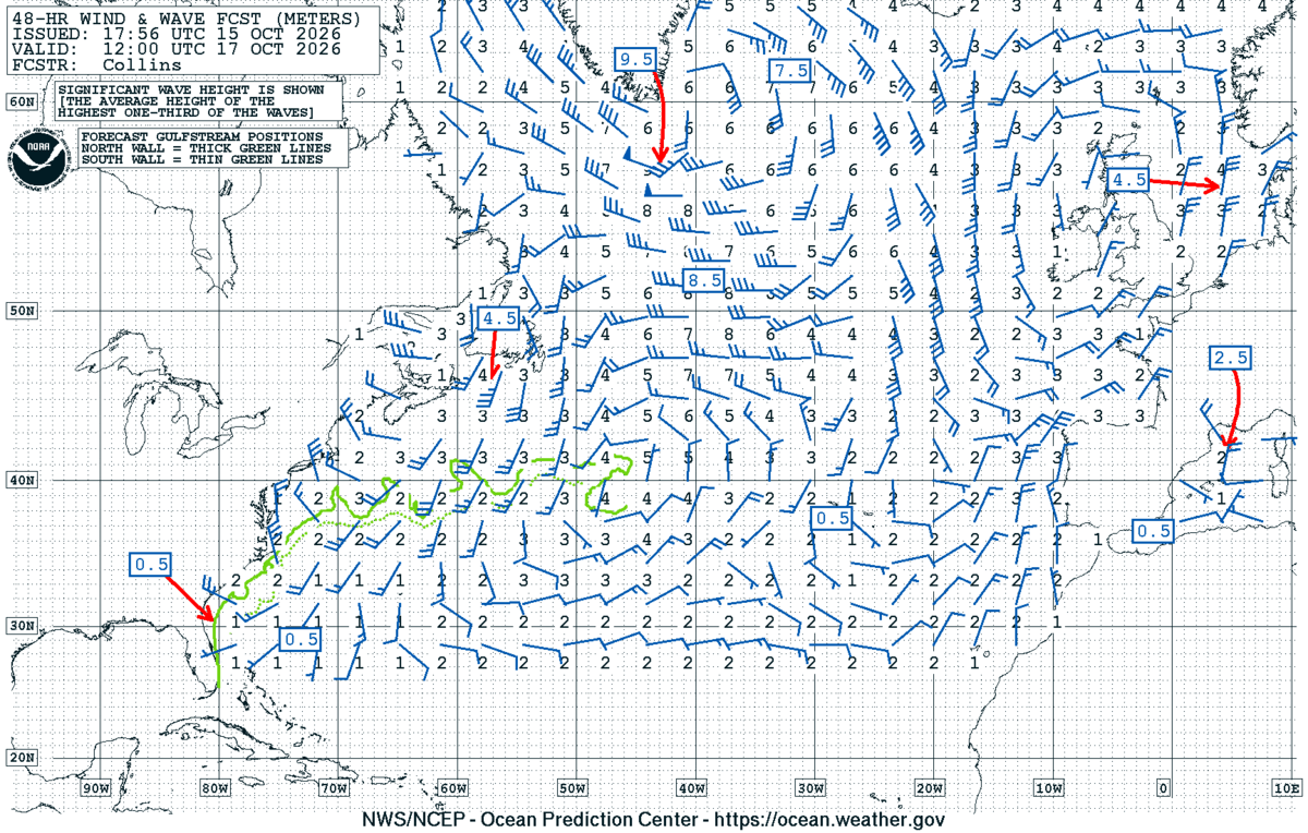
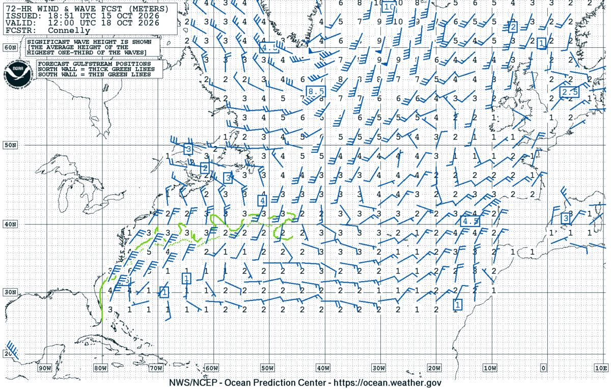
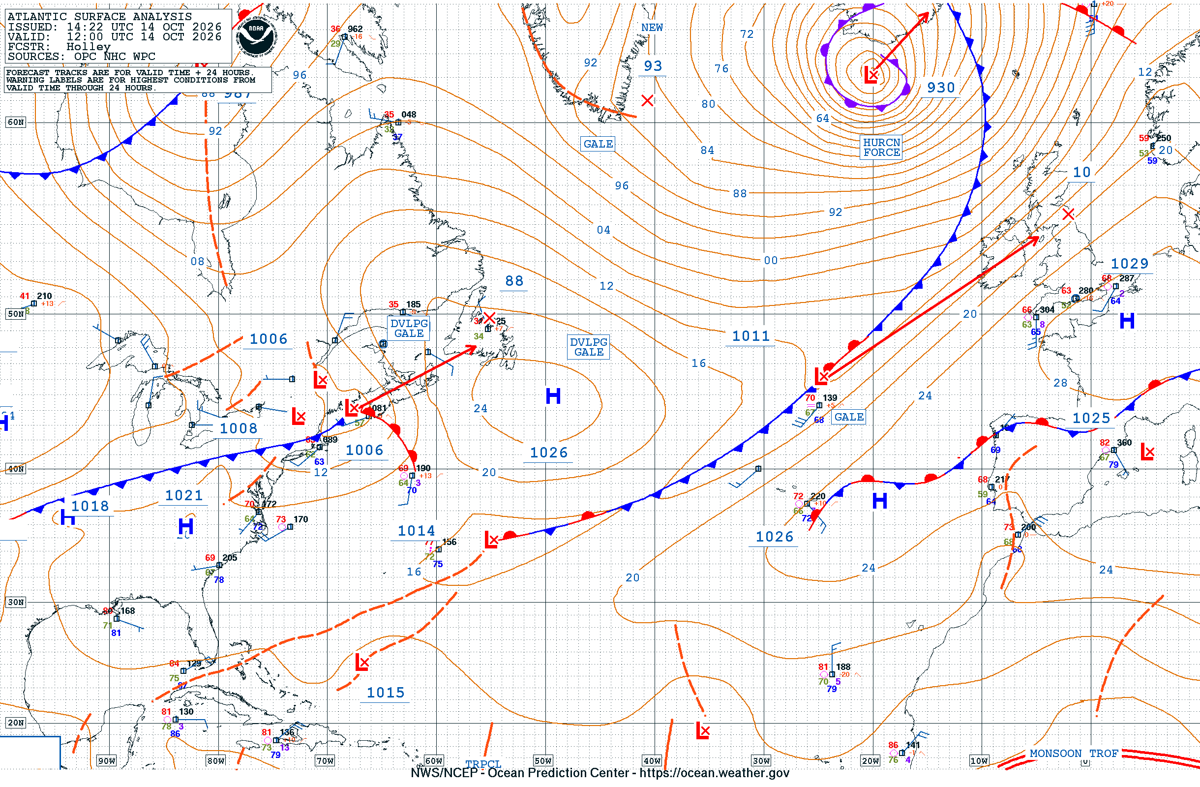
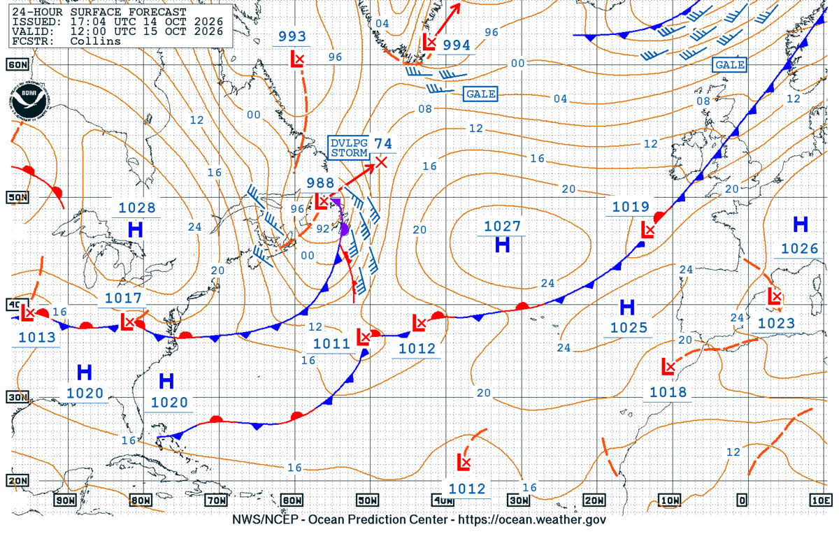
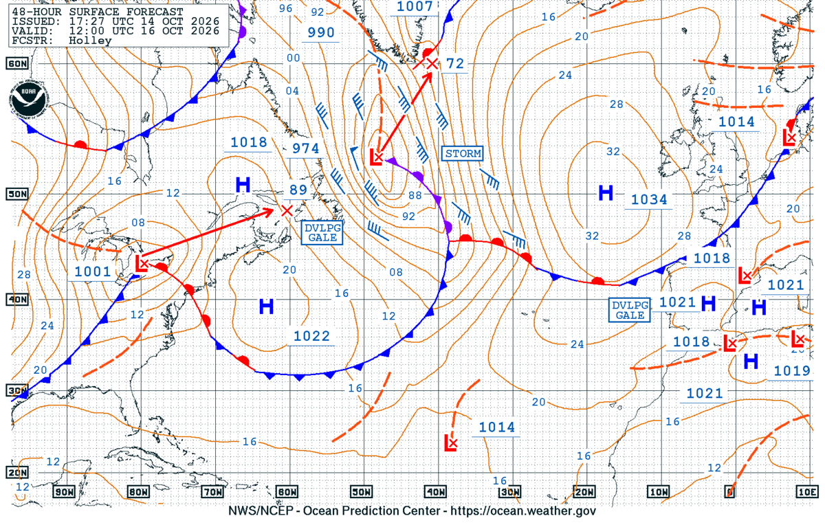
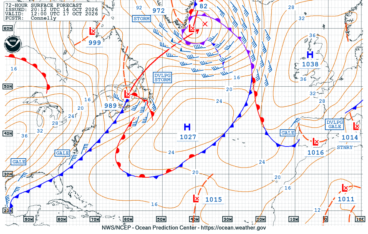
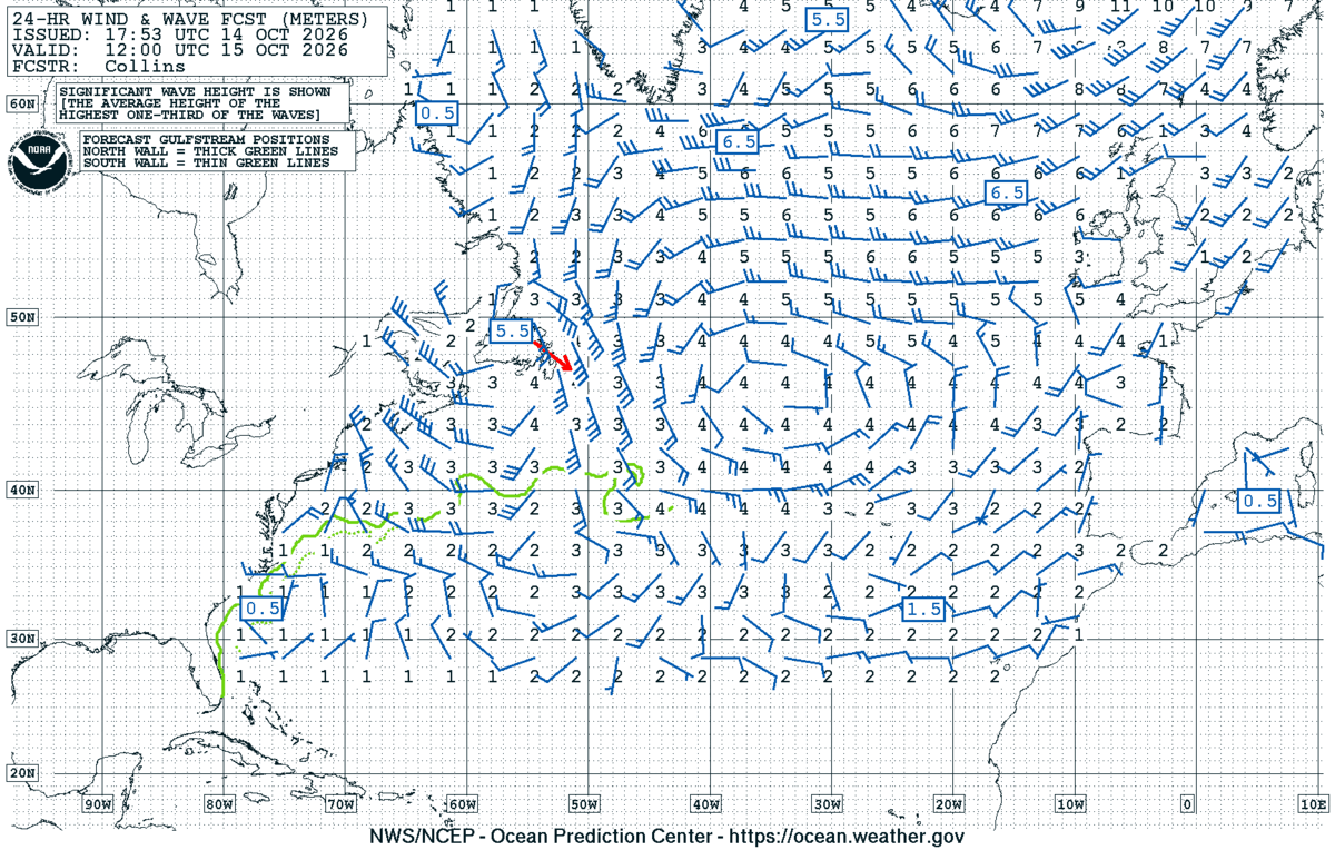
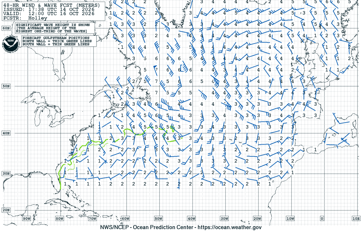
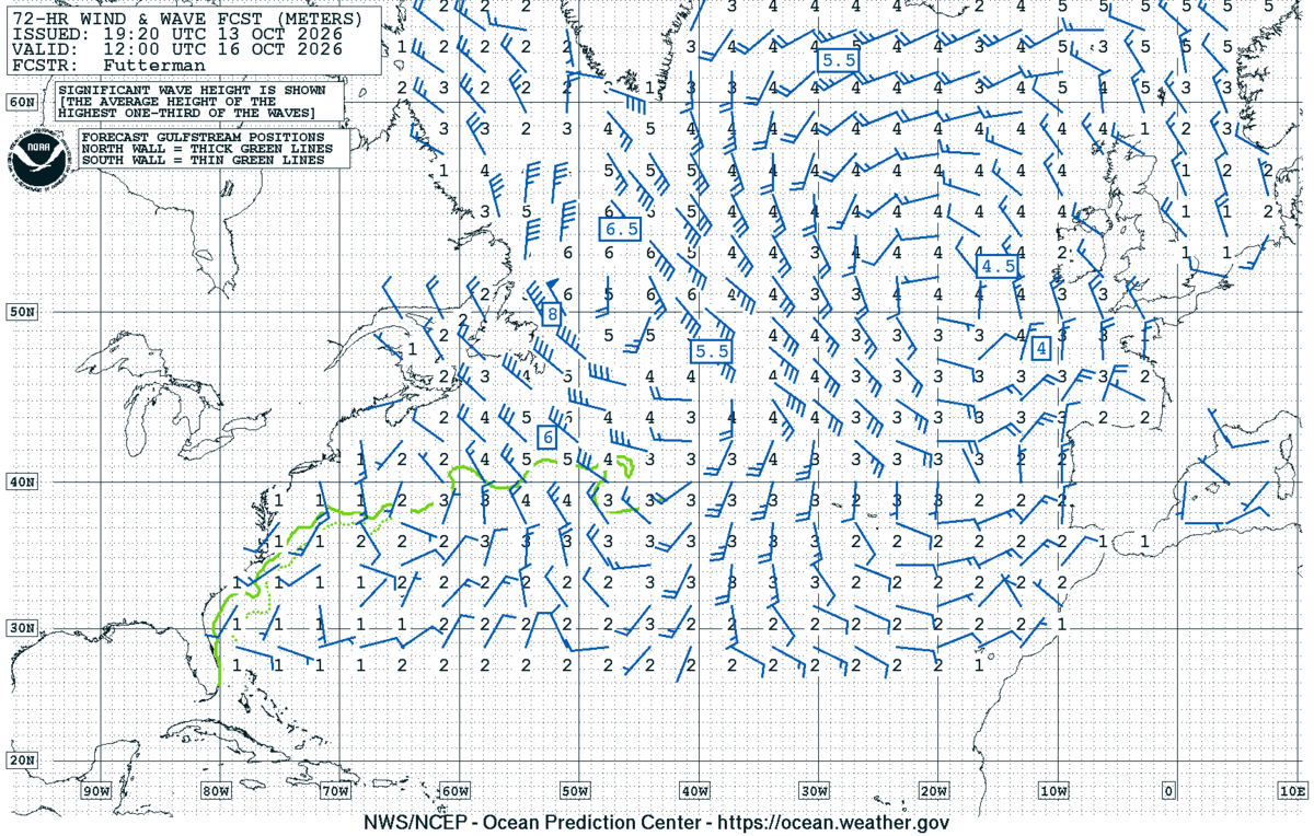
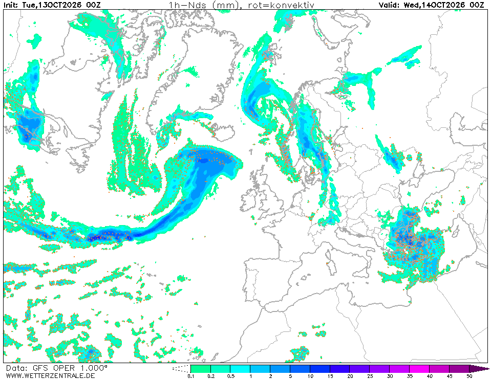
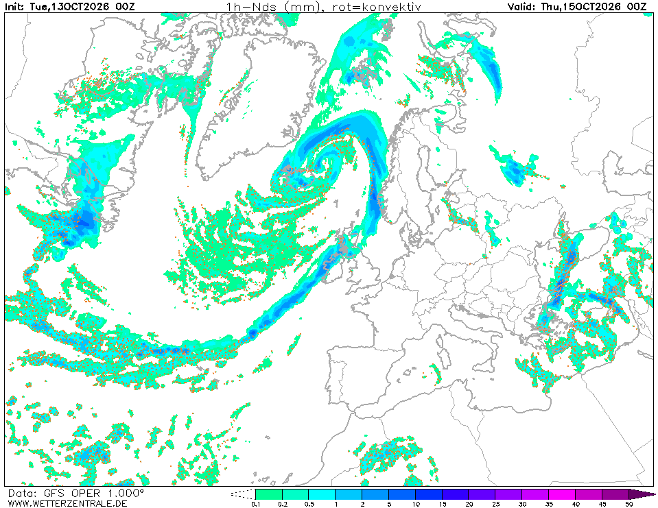
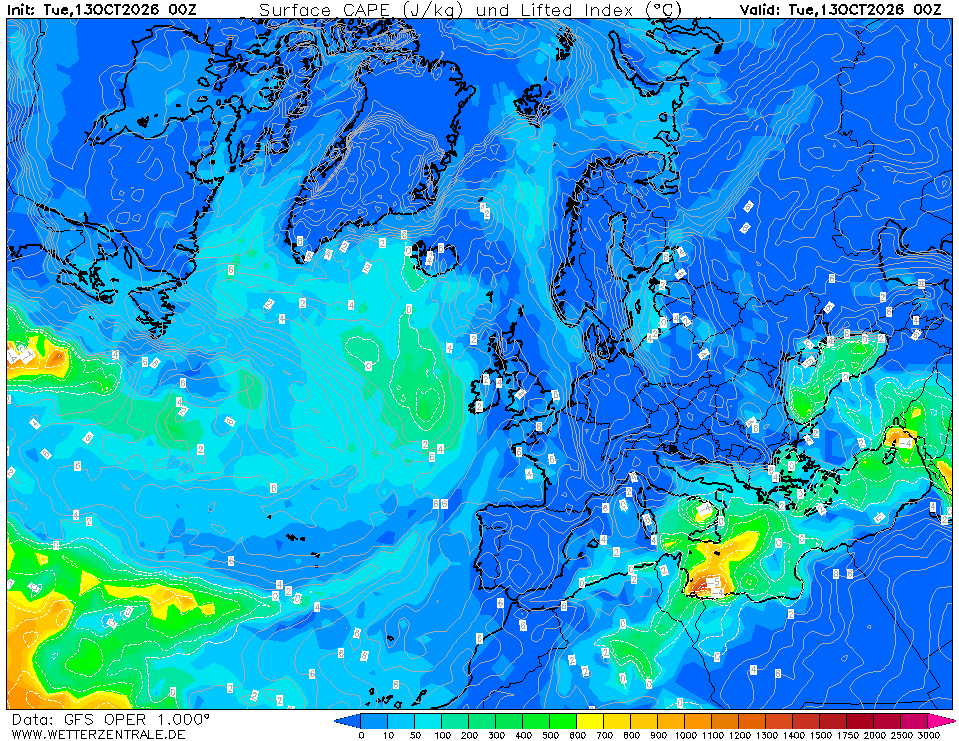
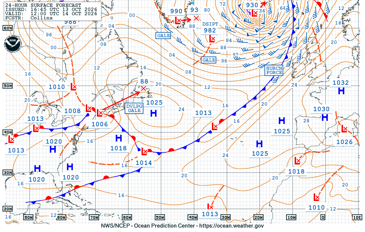
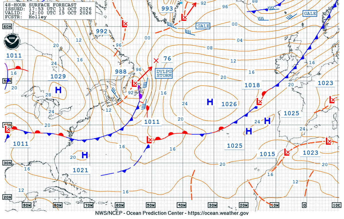
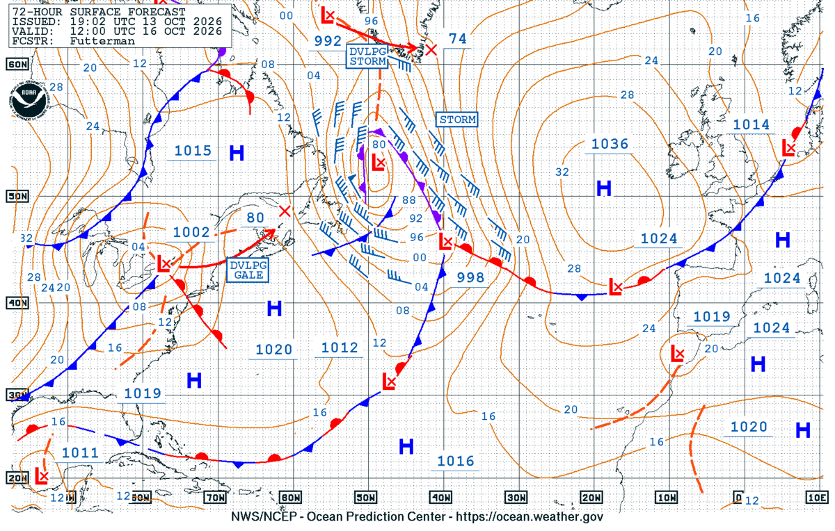
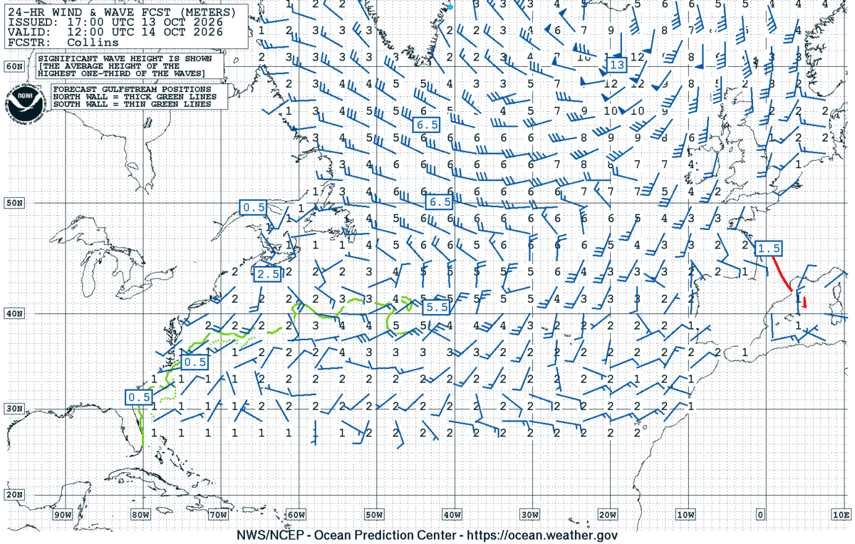
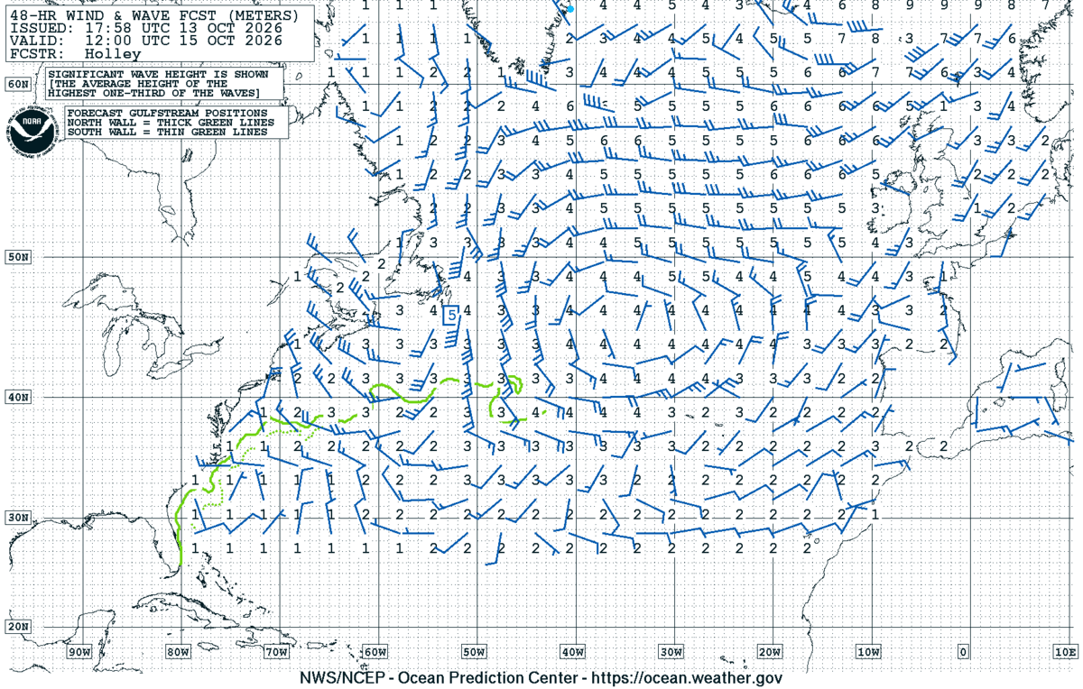
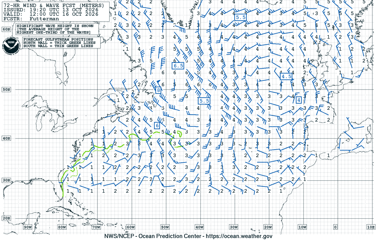
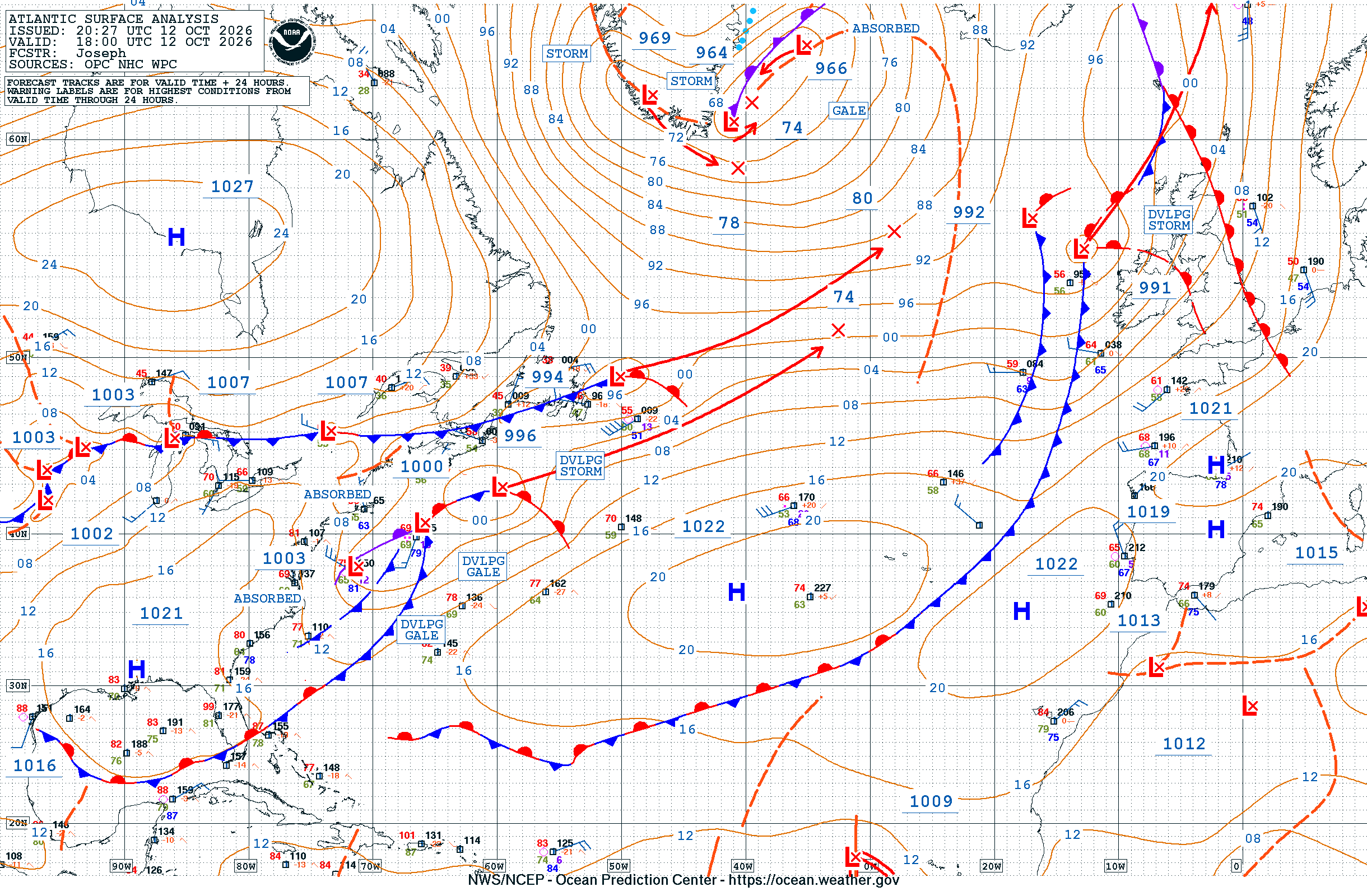
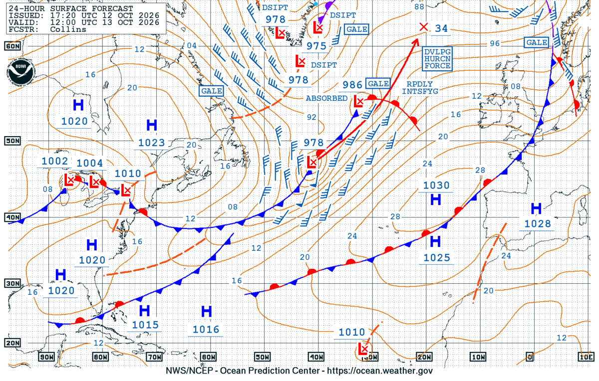
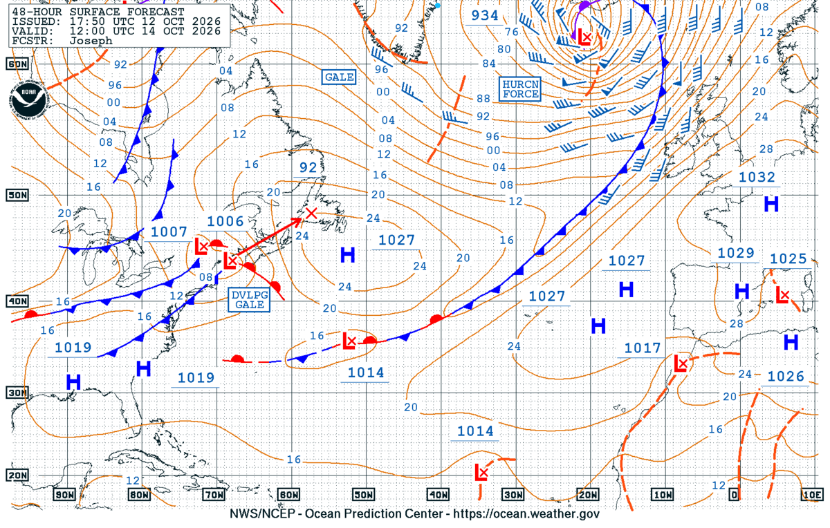
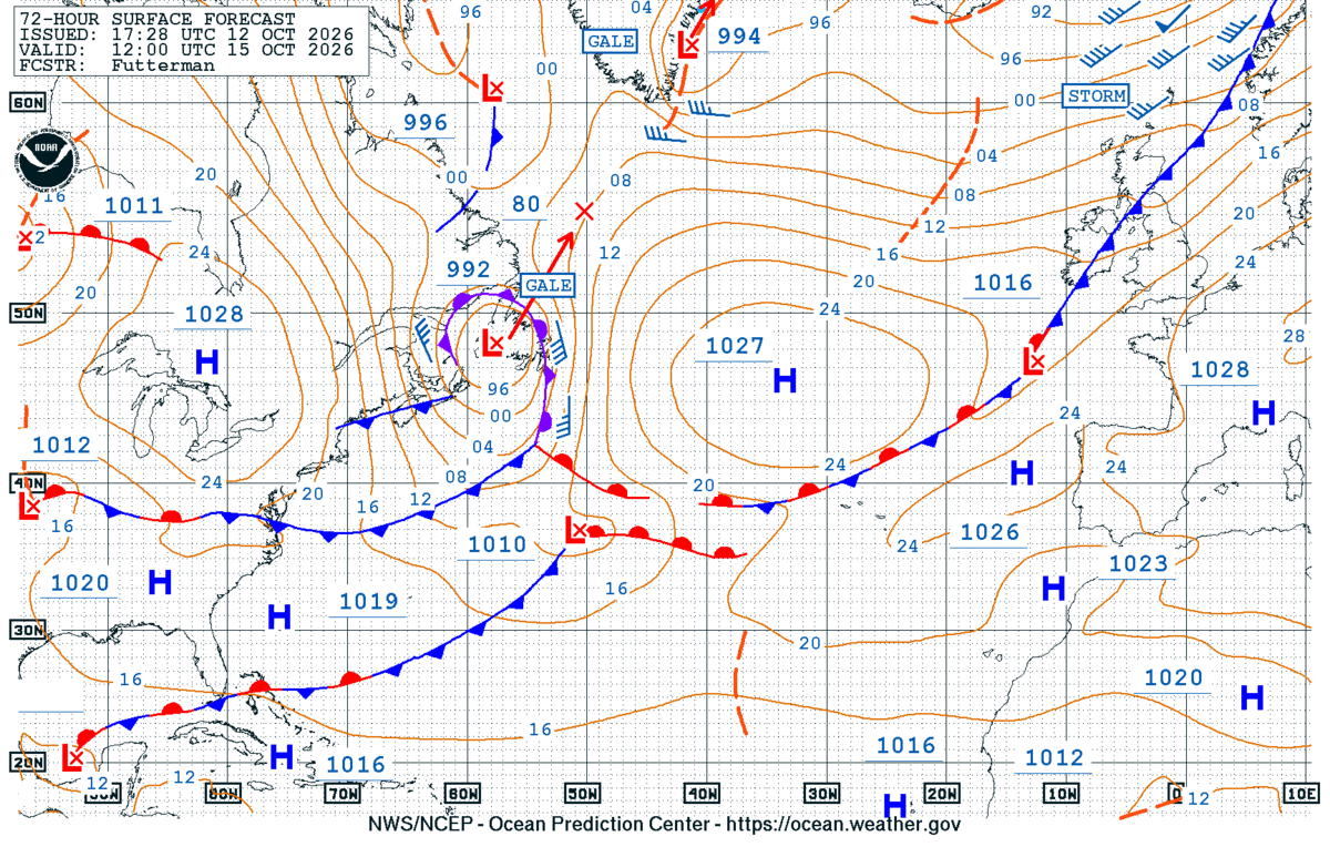
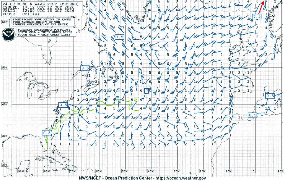
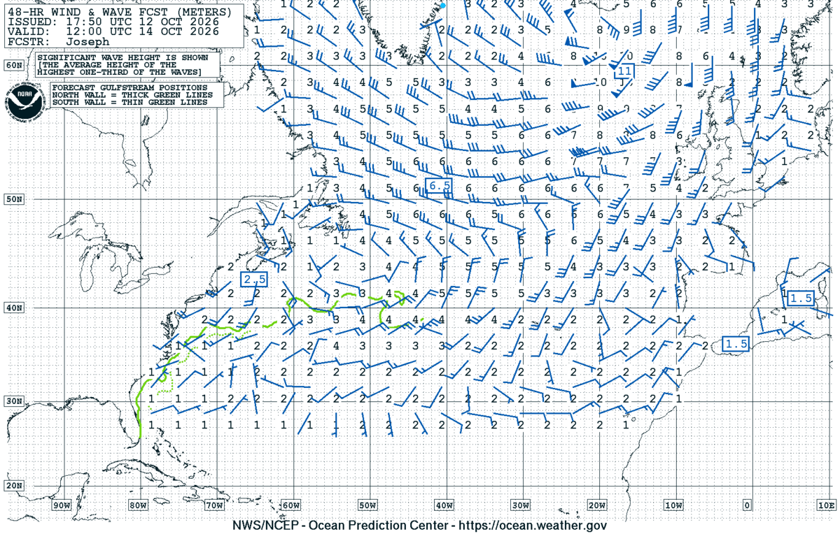
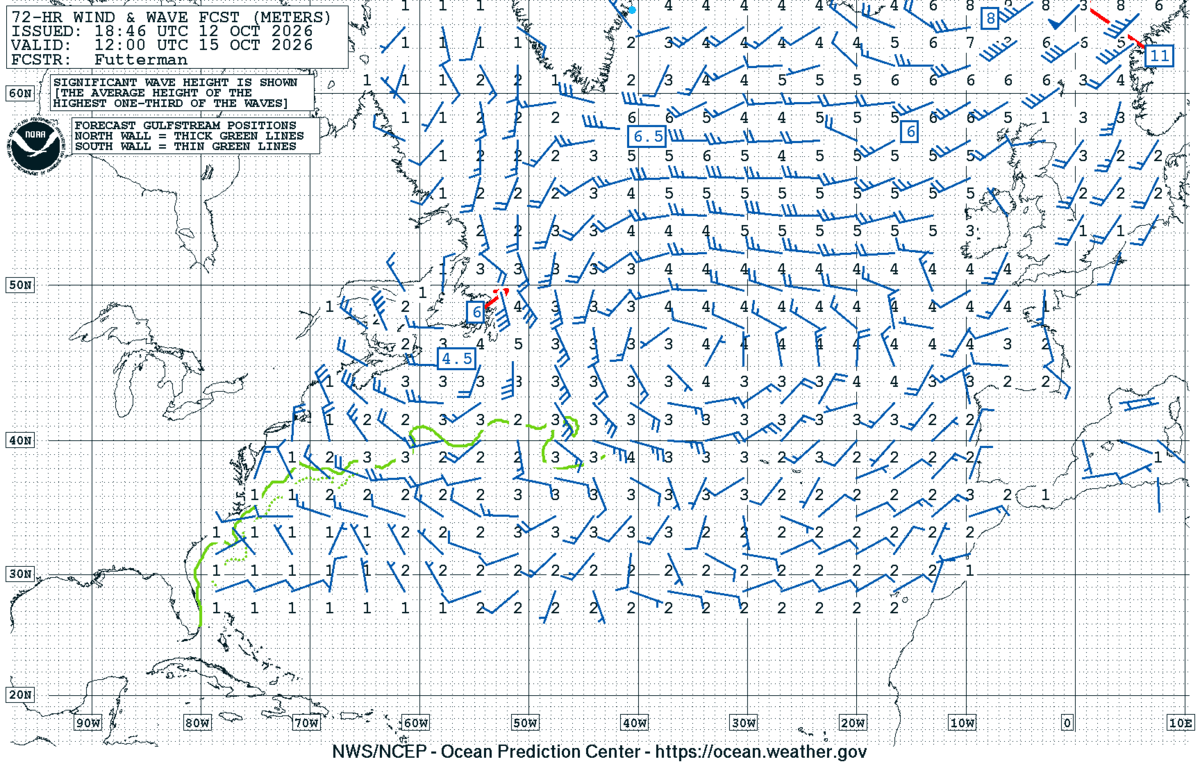
10-day Mediterranean passage. Pressure + 500 mb from GFS-Europe (Wetterzentrale), wind / precip / CAPE from same. Satellite from Meteosat MTG-I1 via SSEC Wisconsin. Atlantic-approaches fallback via NOAA OPC. Refresh before losing connectivity.
- 🔄 Refresh snapshot
- Re-downloads every chart and regenerates the AI briefing for today's date ~20–40 s · heavy bandwidth
- ✦ Regenerate briefing
- Re-runs the AI on the currently-viewed snapshot only ~10–15 s · ~$0.10
- 🗑 Delete snapshot
- Removes the currently-viewed date from disk instant
- 🧹 Prune older
- Keeps the most recent 7 snapshots and deletes the rest in one pass instant
CLI equivalents
npm run voyage refresh med-apr2026
npm run voyage briefing med-apr2026 [date]
npm run voyage delete-snapshot med-apr2026 <date>
npm run voyage prune med-apr2026 [keepN]
AI weather briefing
Weather Briefing — Med Passage
Issued: 17 Oct 2026 18:42 UTC · Valid for departure window 17–21 Oct
Current synoptic setup
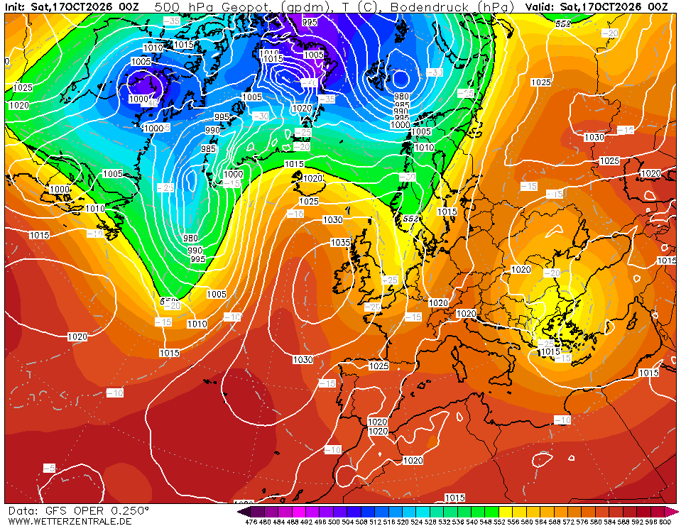
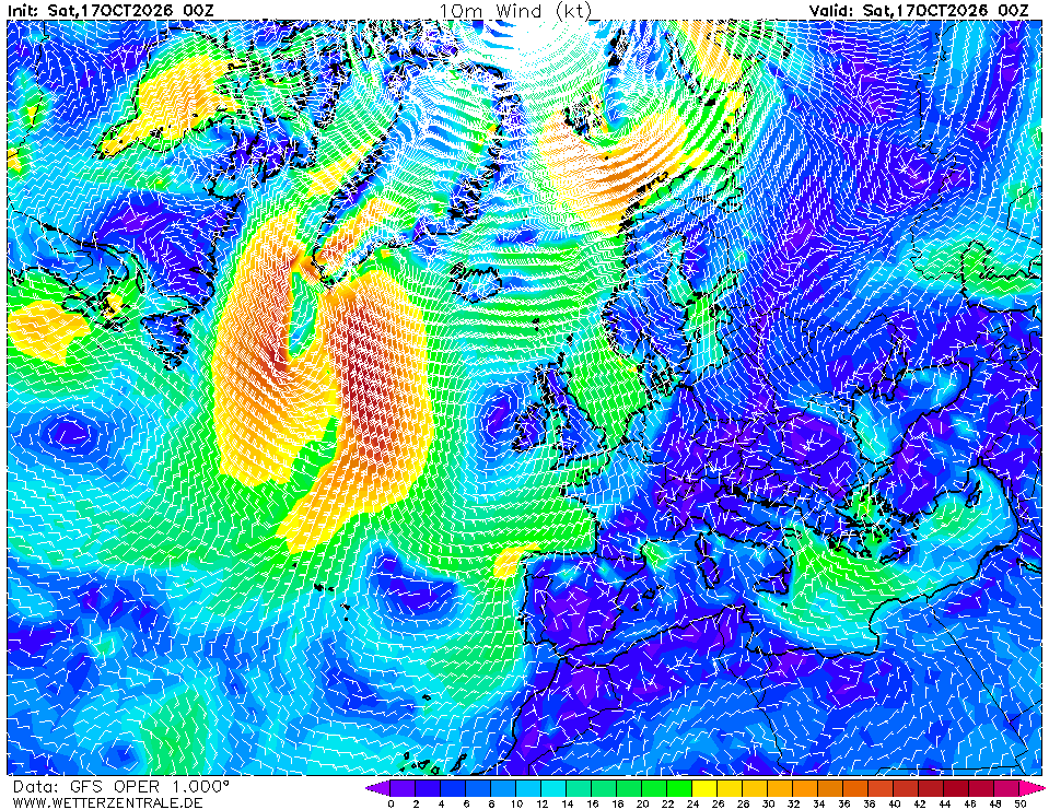
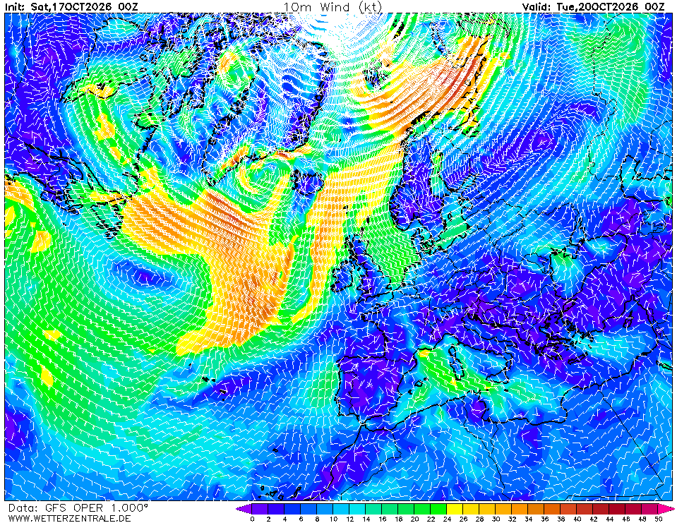
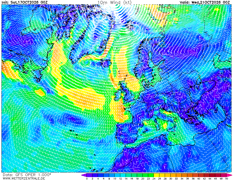
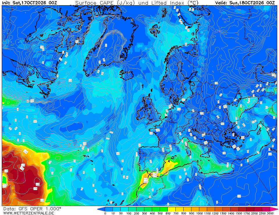
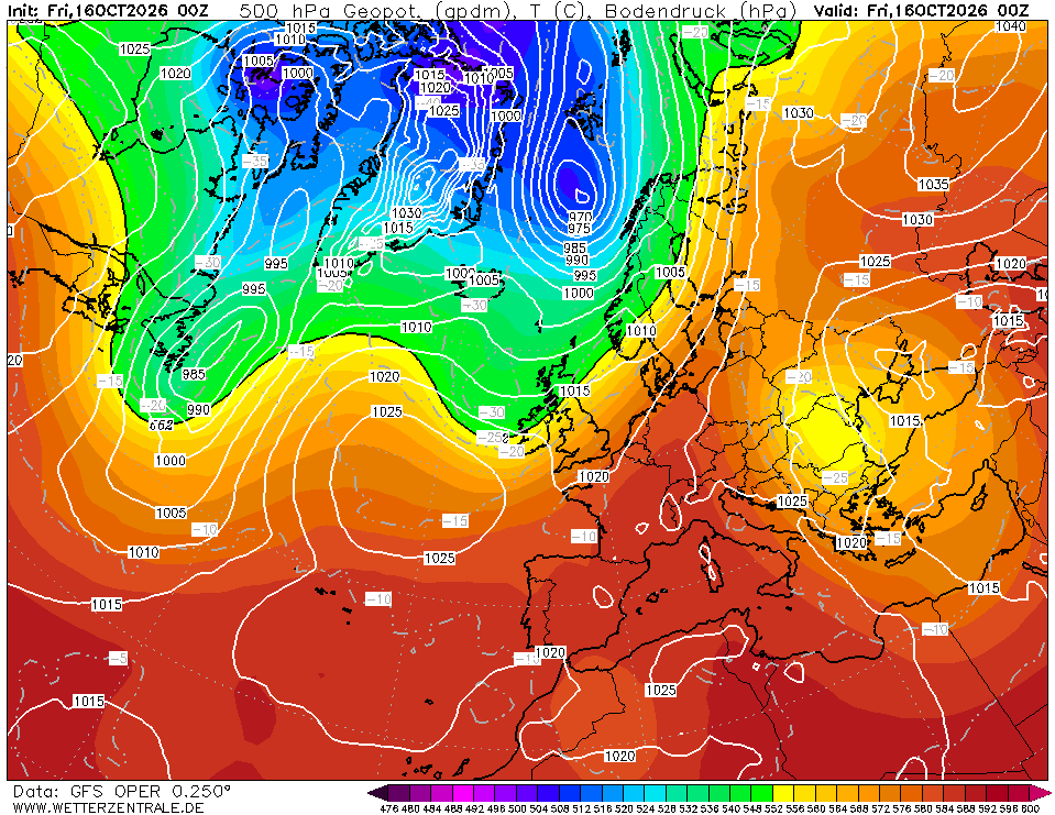
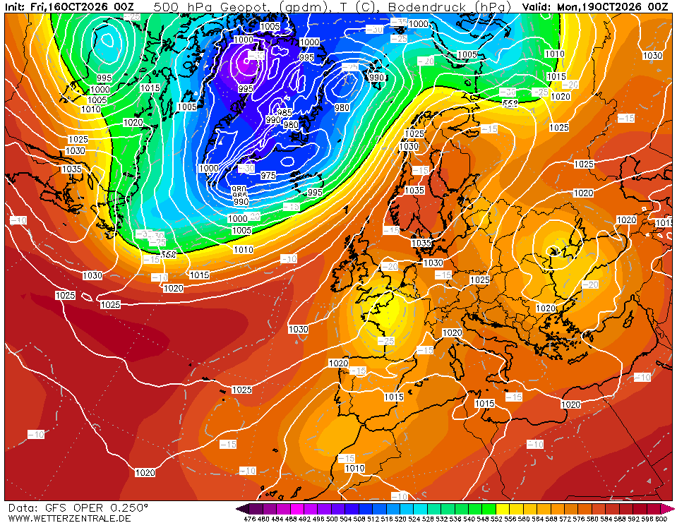
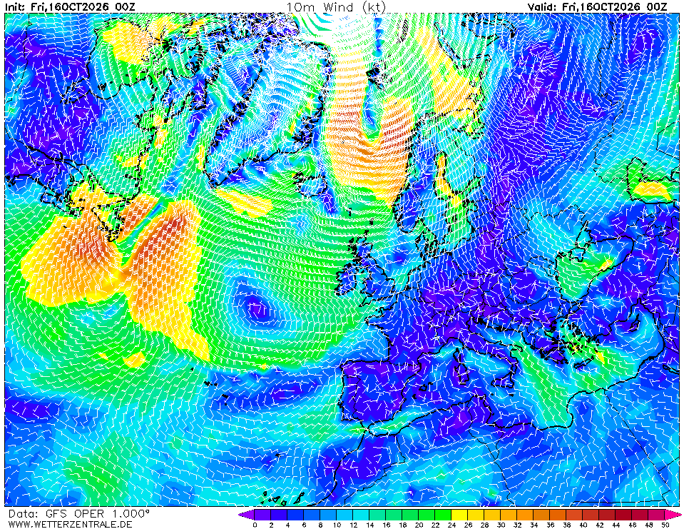
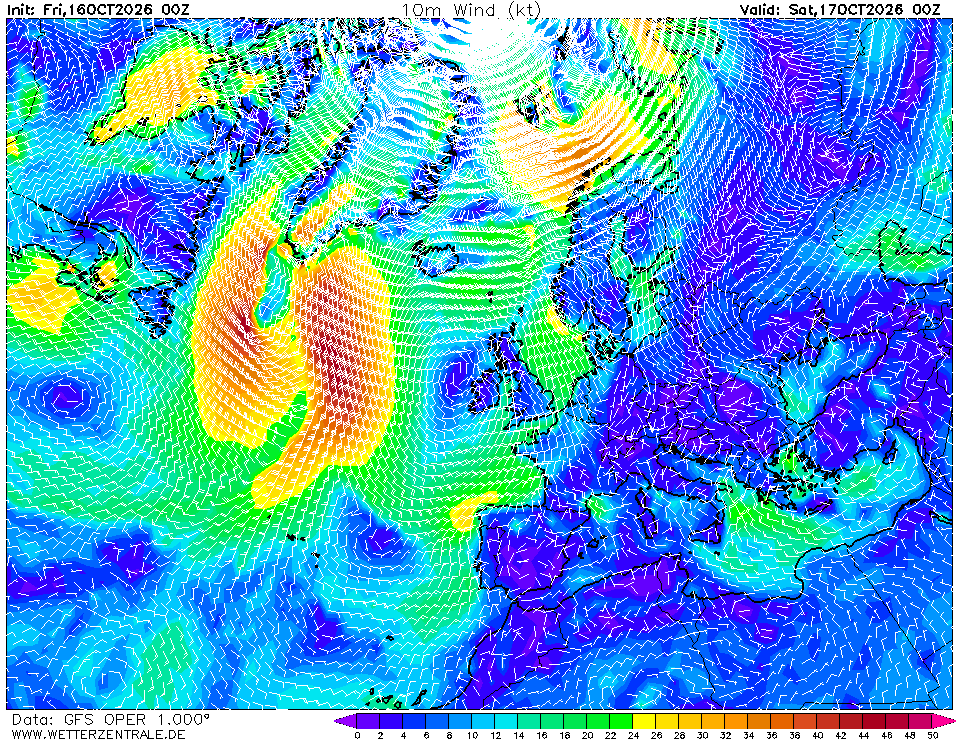
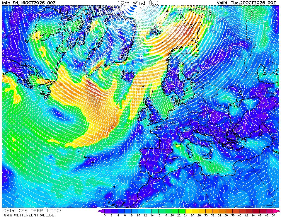
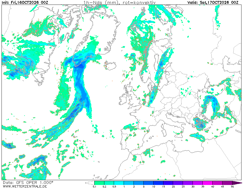
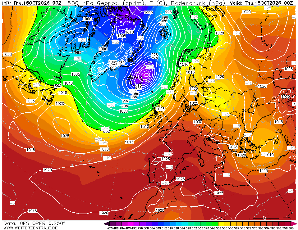
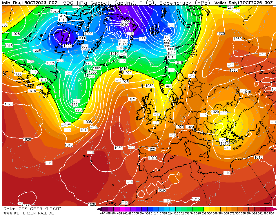
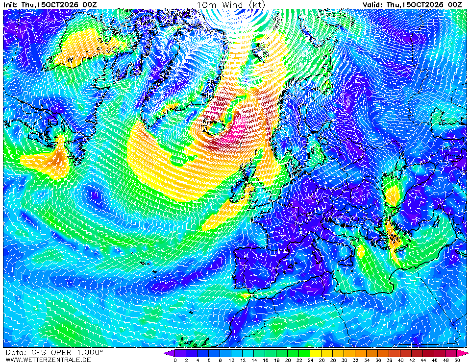
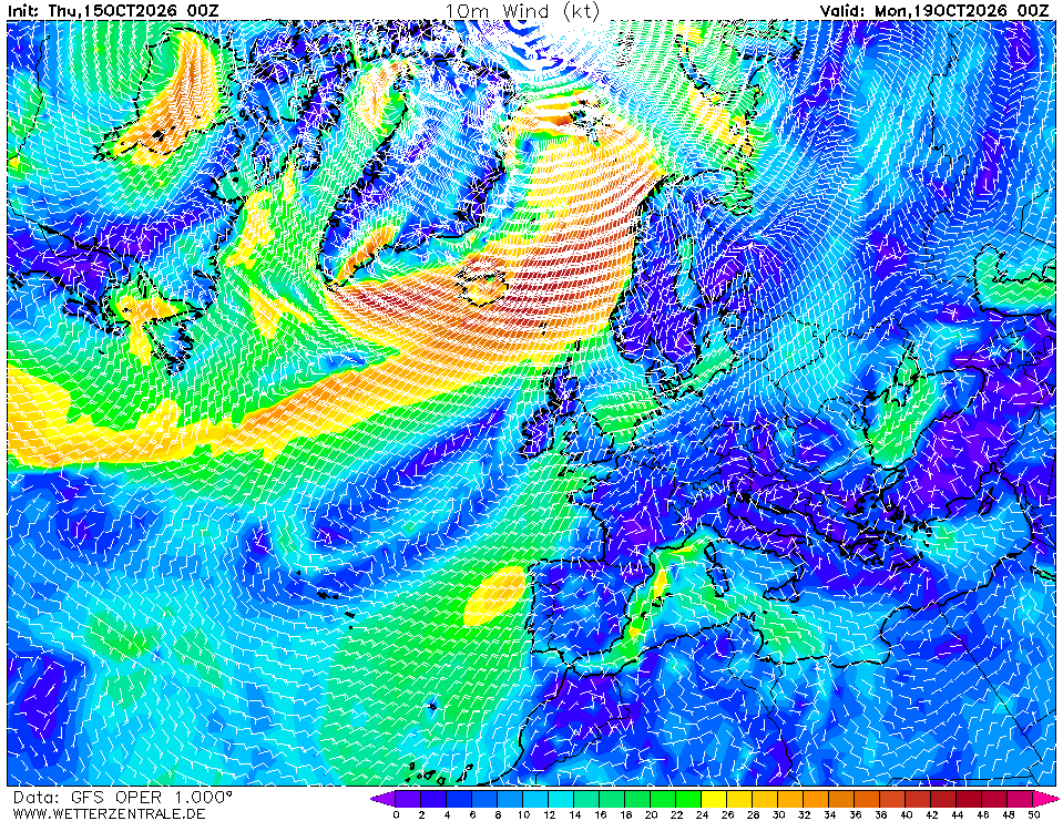
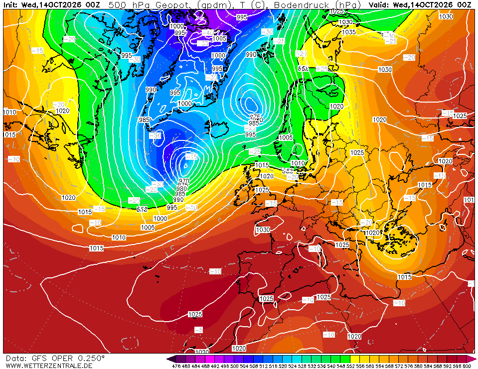
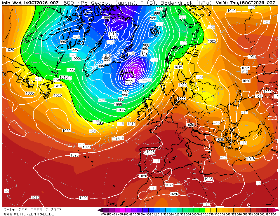
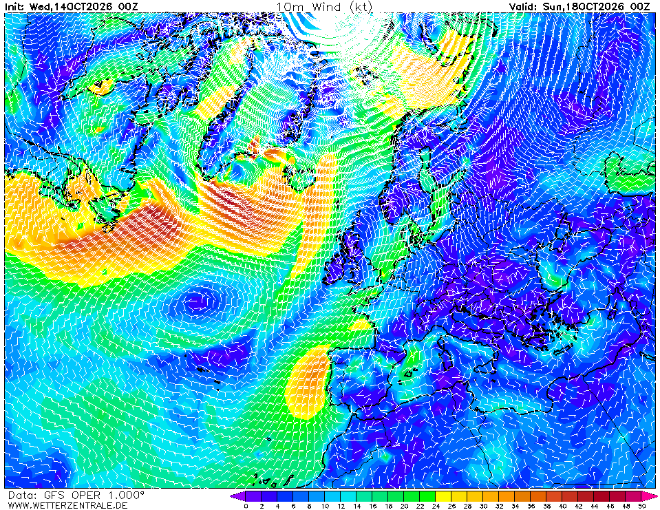
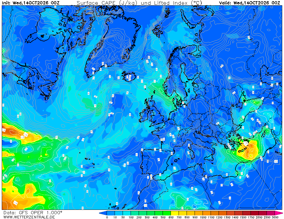
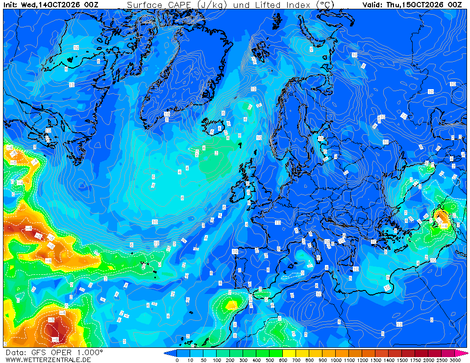
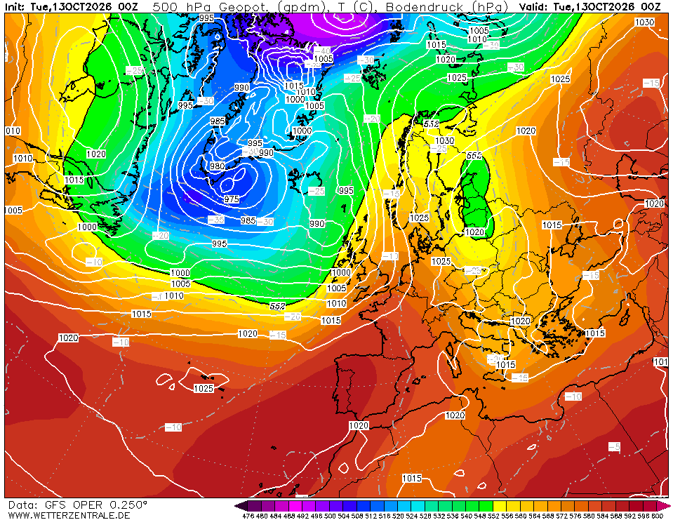
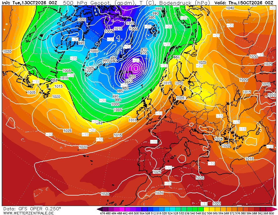
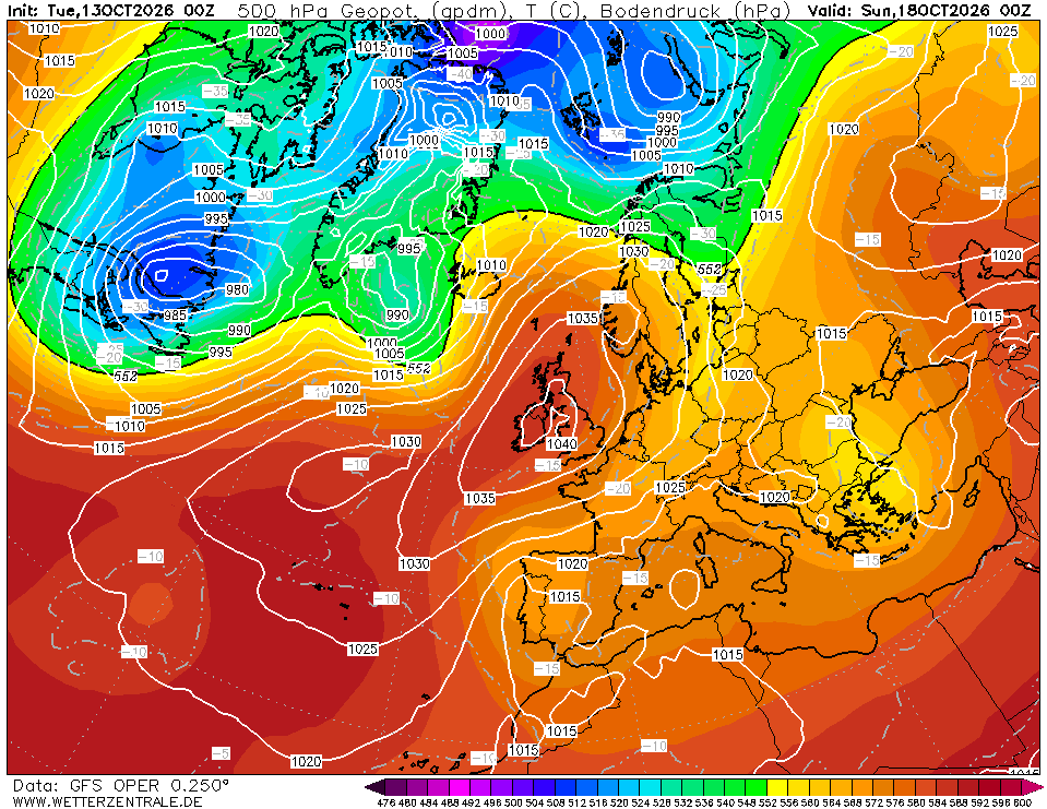
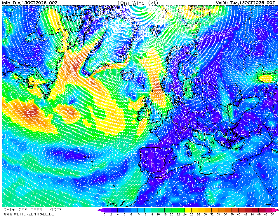
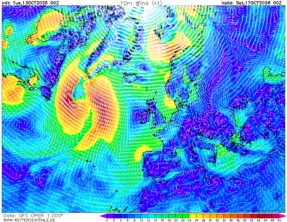
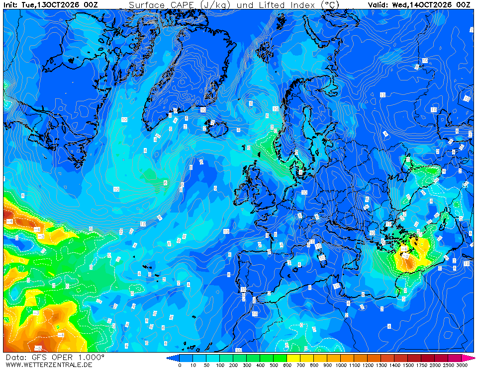
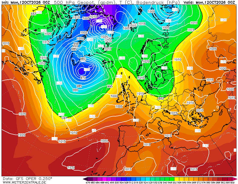
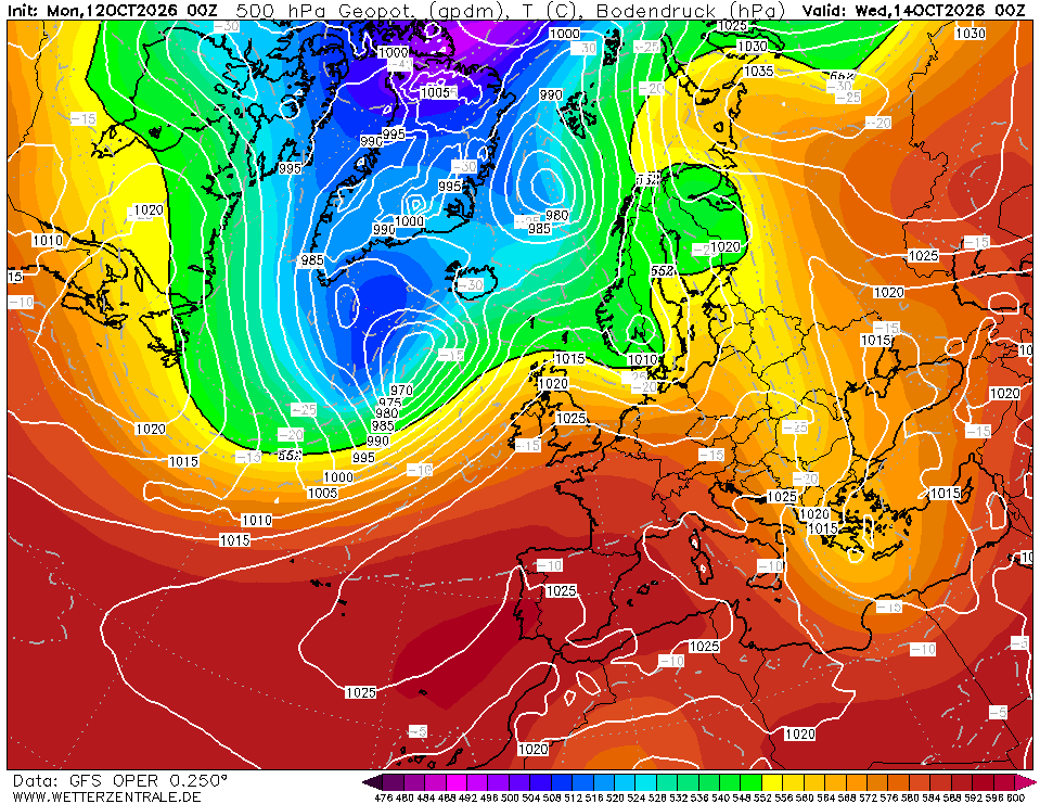
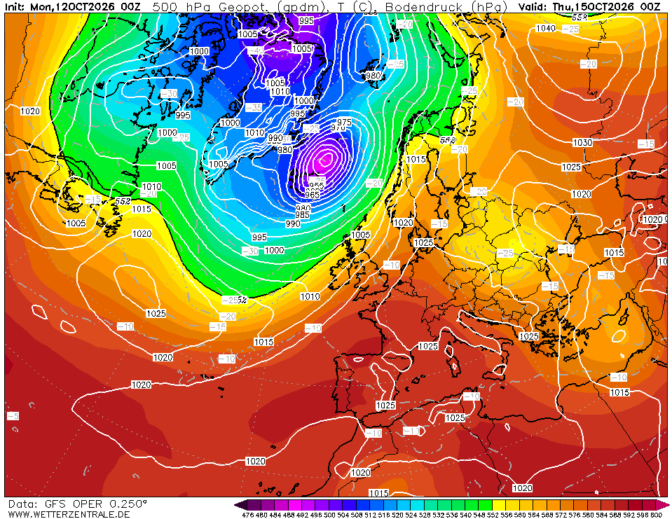
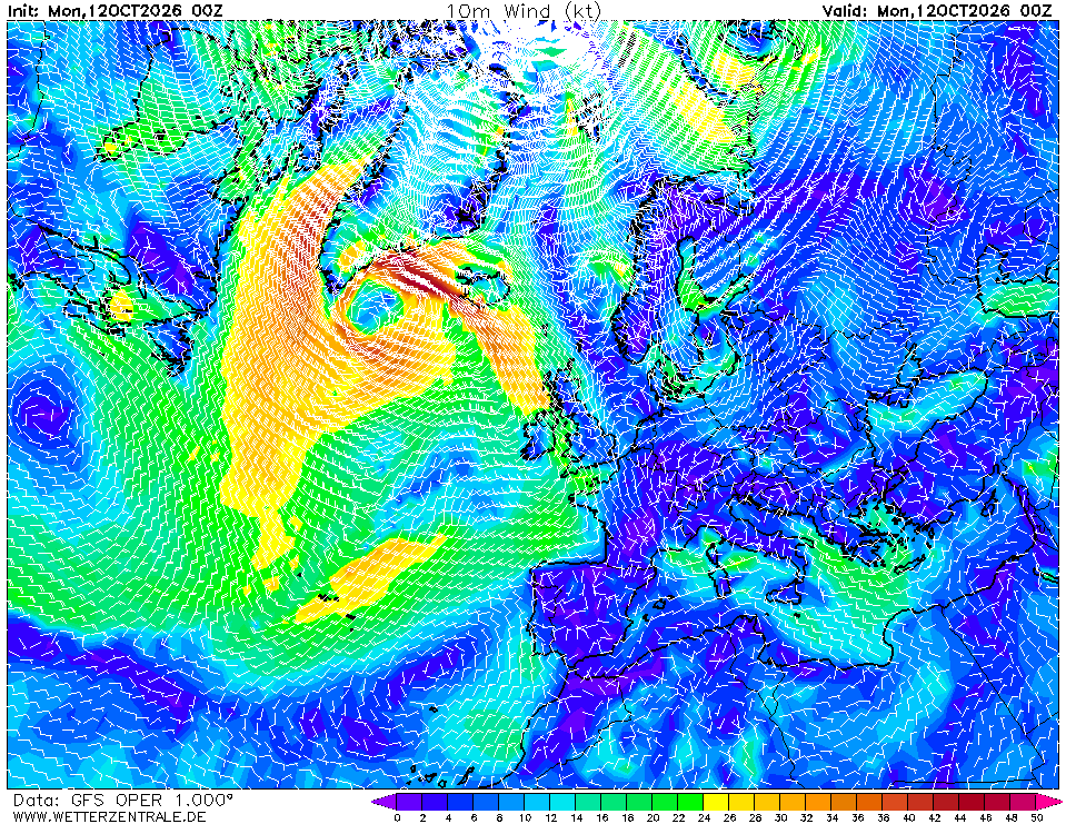
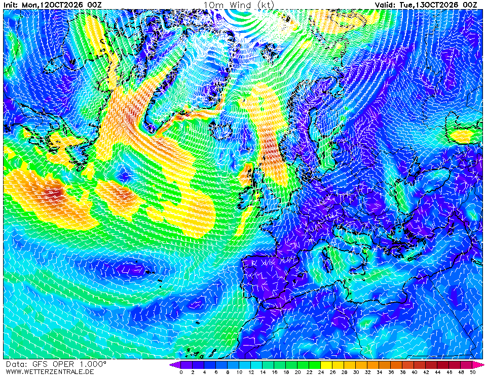
The Mediterranean basin sits under a broad ridge, with a 1020 hPa high centred over the central Med and 1020–1025 hPa extending across Iberia and the Balkans (Chart 1). The dominant feature outside the basin is a deep Icelandic low near 980 hPa with a secondary ~1000 hPa low south of Iceland, driving a vigorous zonal jet across the North Atlantic — visible as the 540–552 dam 500 mb thickness ribbon arcing from Newfoundland toward Biscay. For the route (34–45°N, 6°W–36°E) this means light-to-moderate conditions dominate at t+0: Chart 4 shows 6–14 kt across most of the western and central Med, with a localised 16–22 kt NW'ly funnelling through the Gulf of Lion and a weaker Etesian-style N'ly 10–16 kt in the Aegean. No fronts currently touch the route.
72-hour outlook
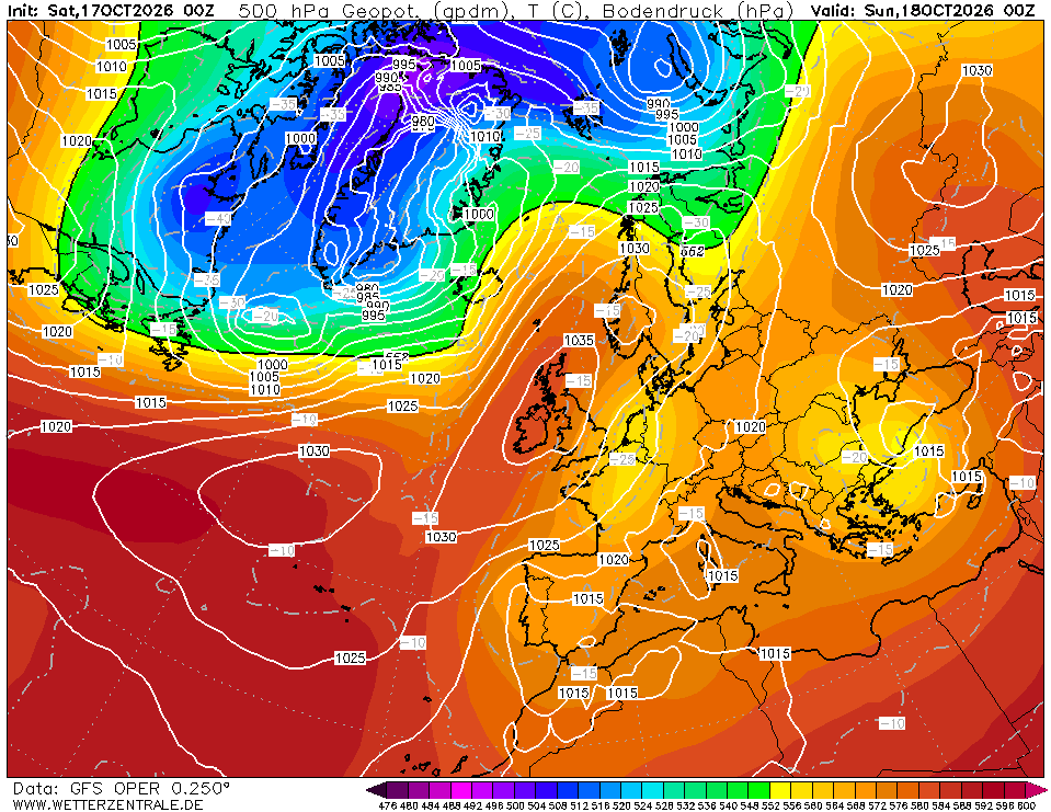
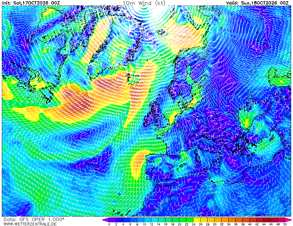
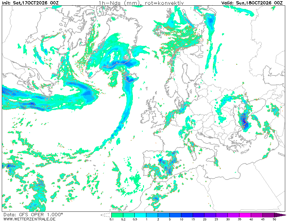
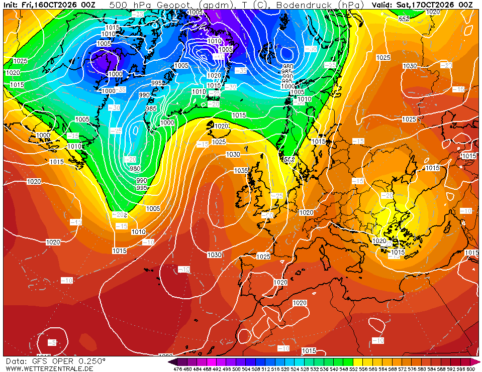
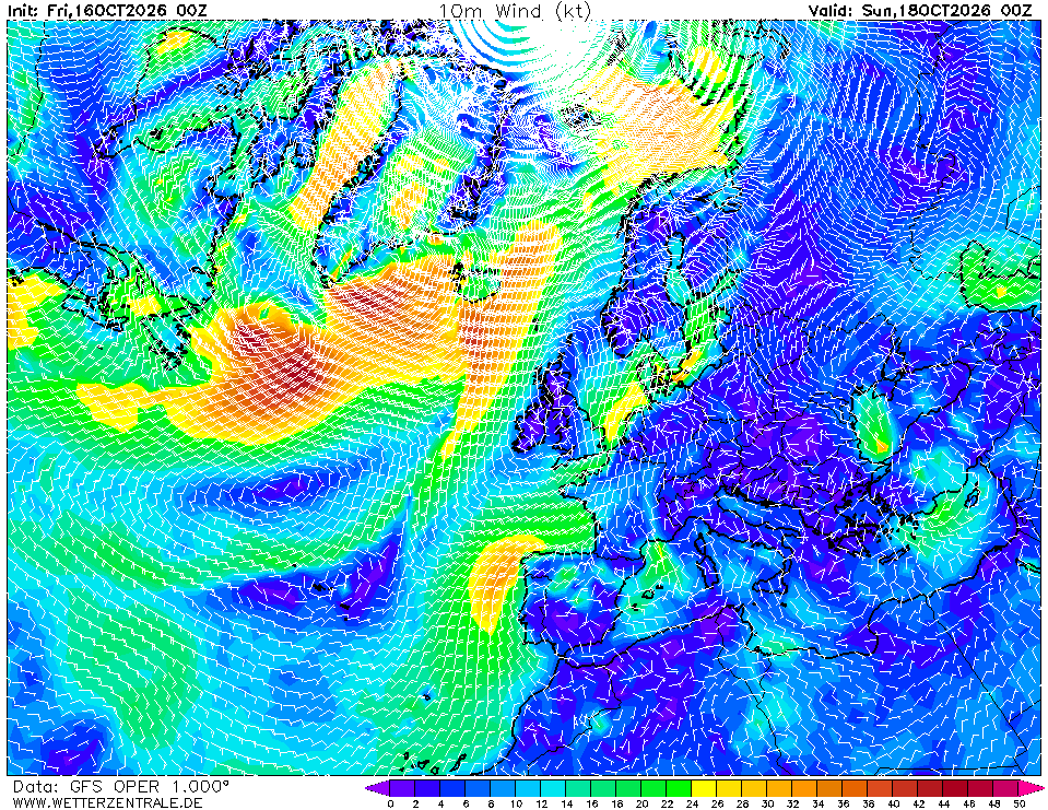
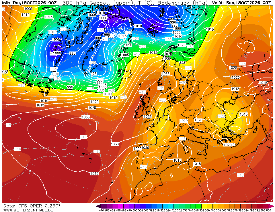
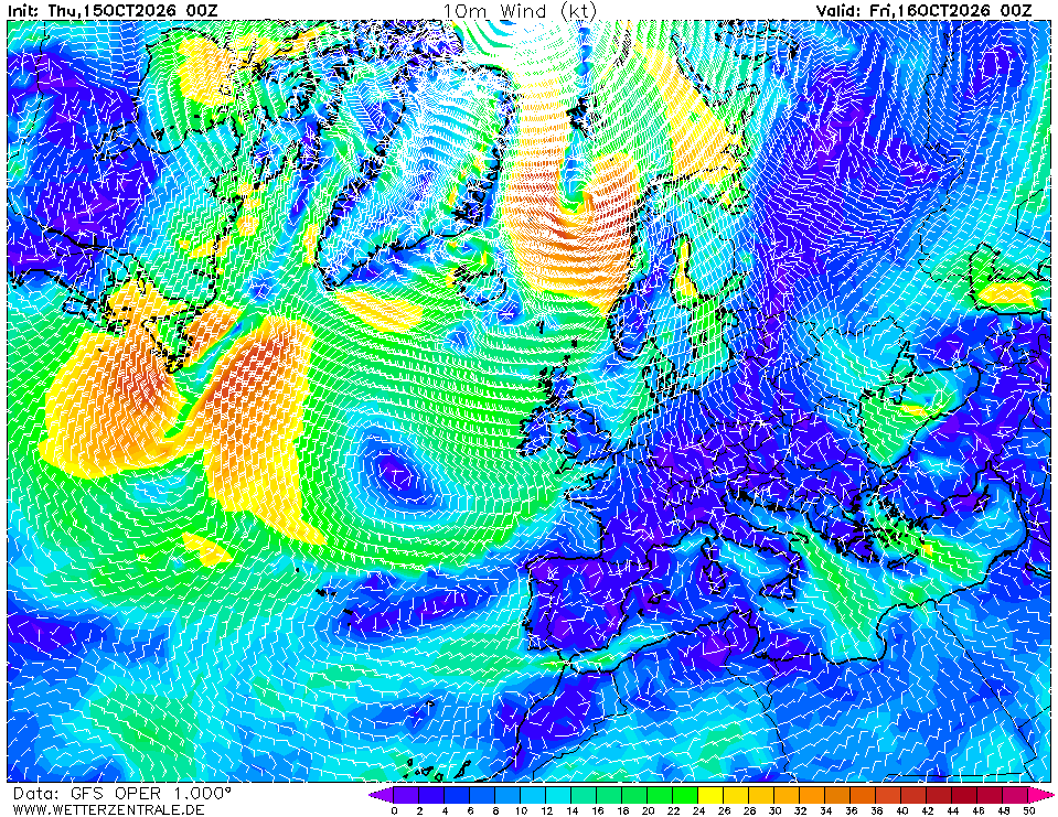
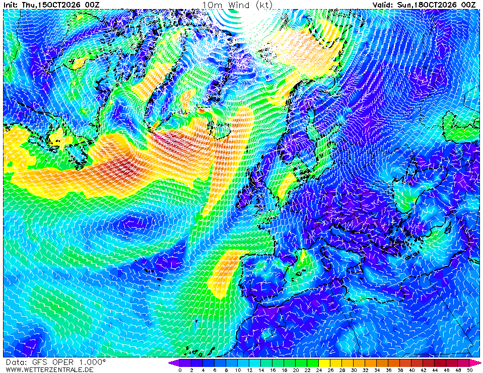
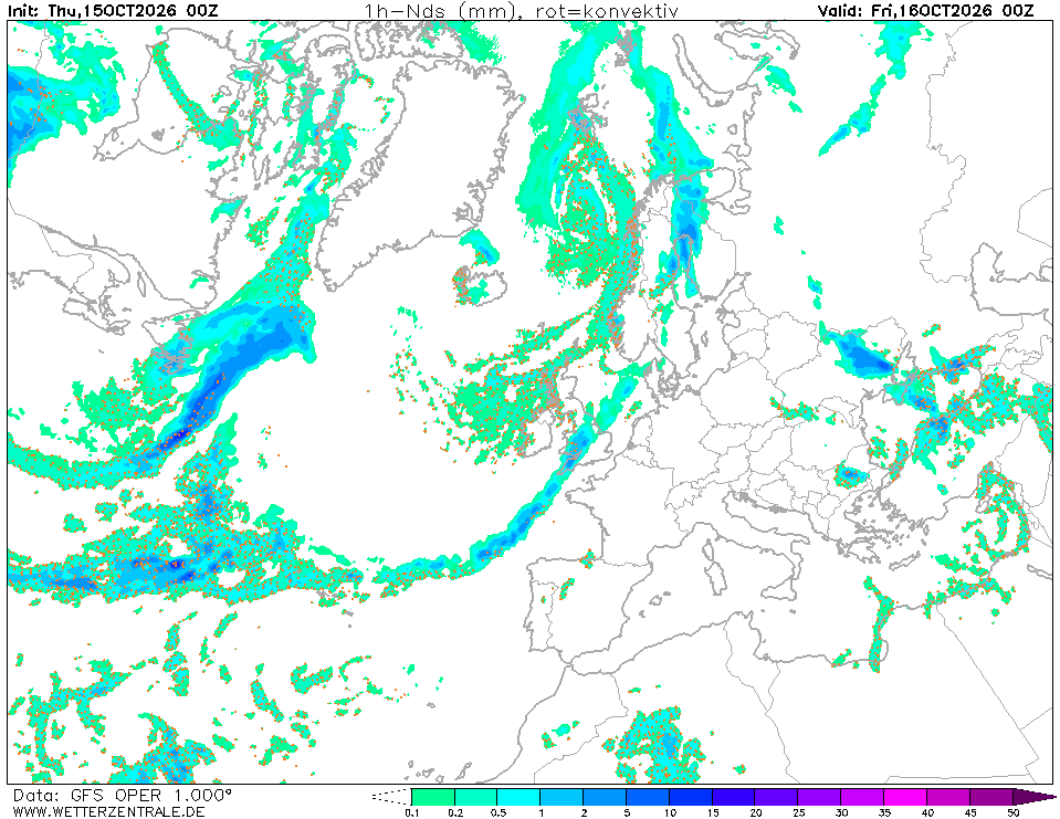
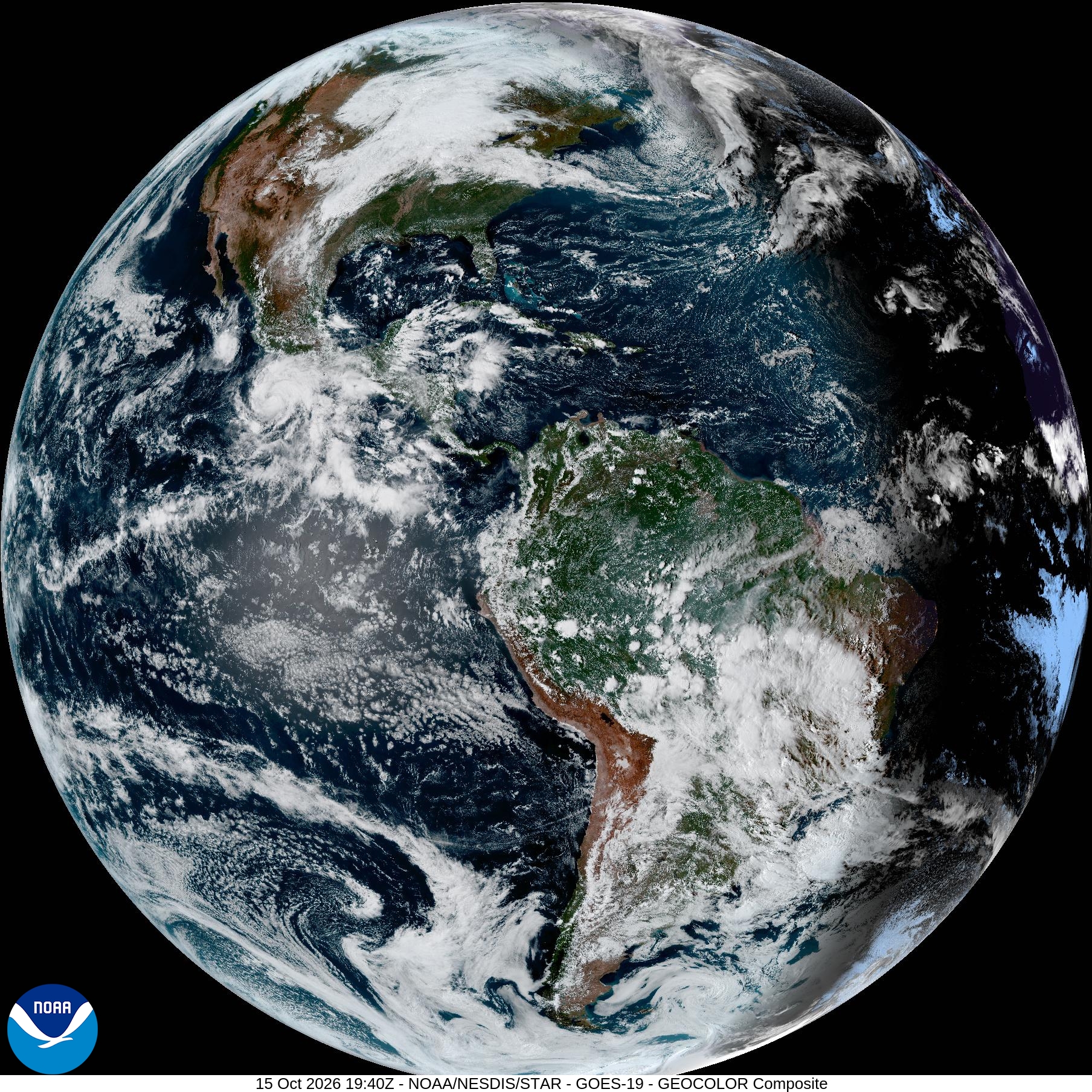
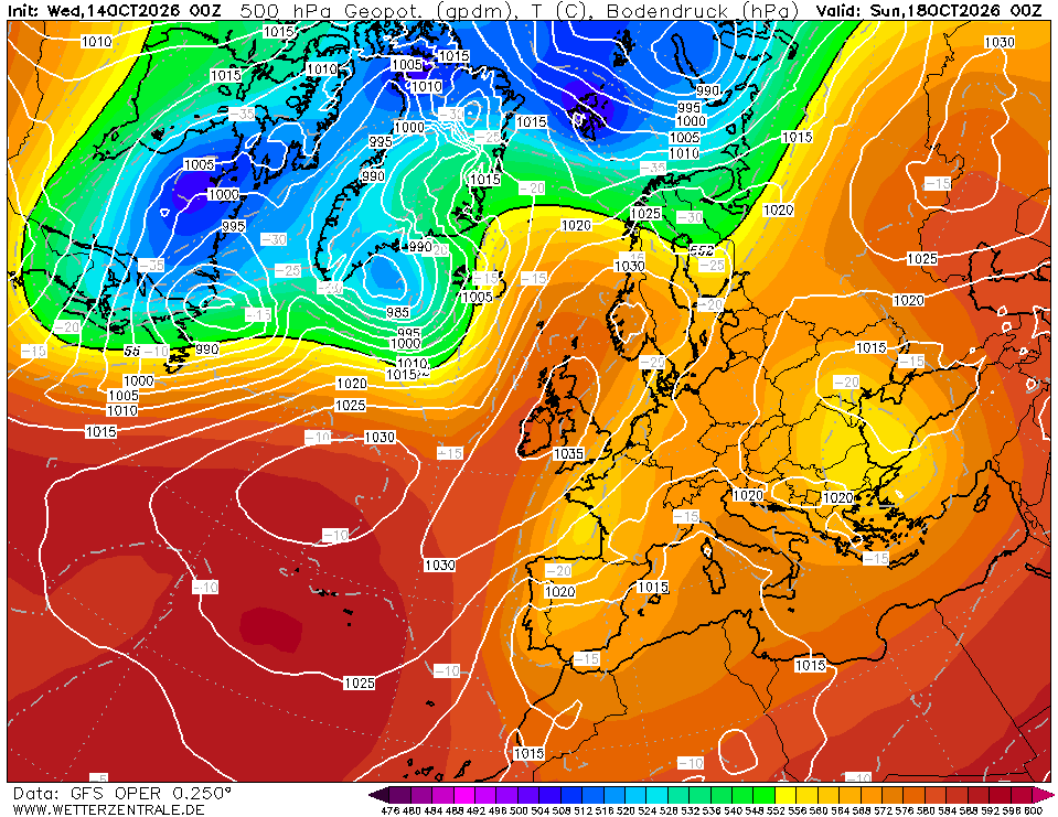
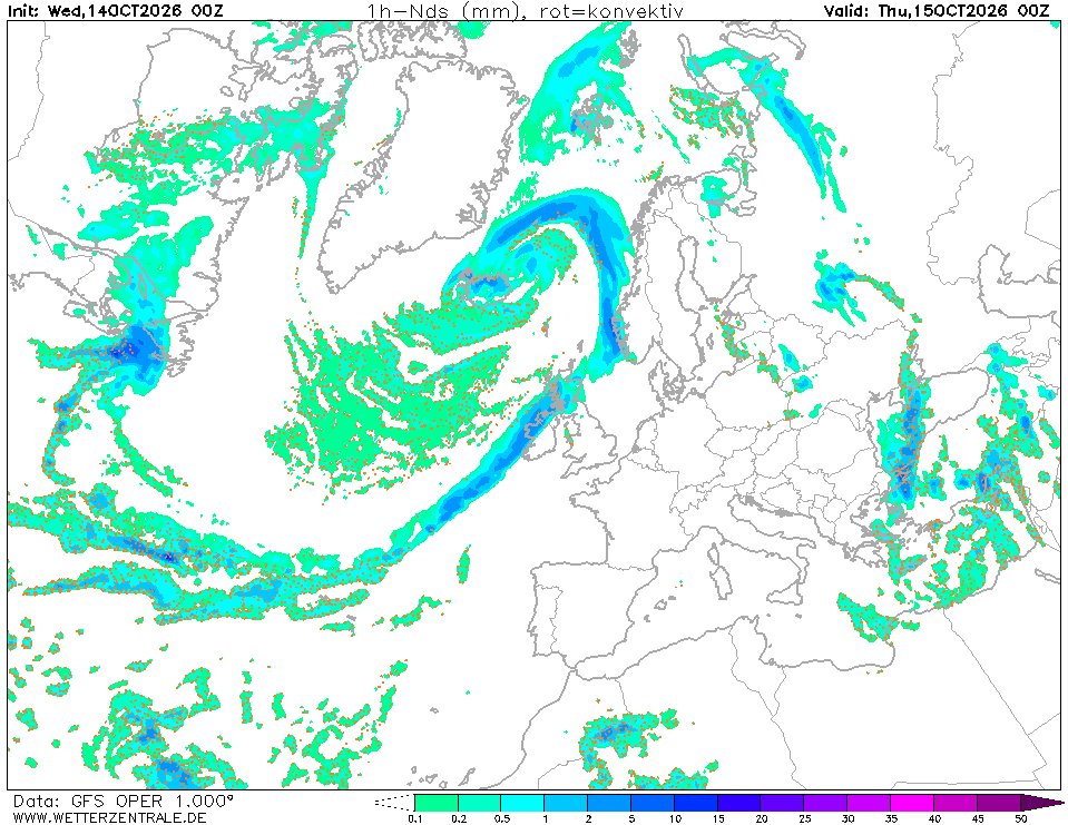
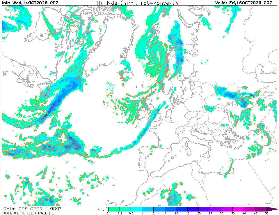
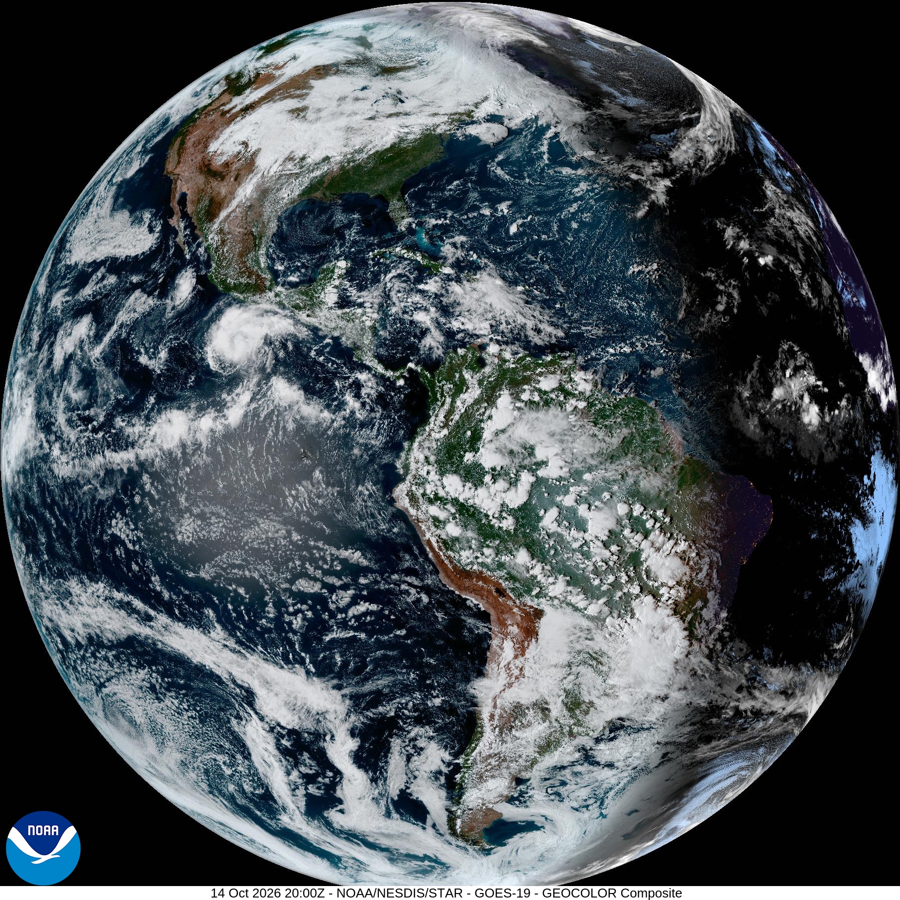
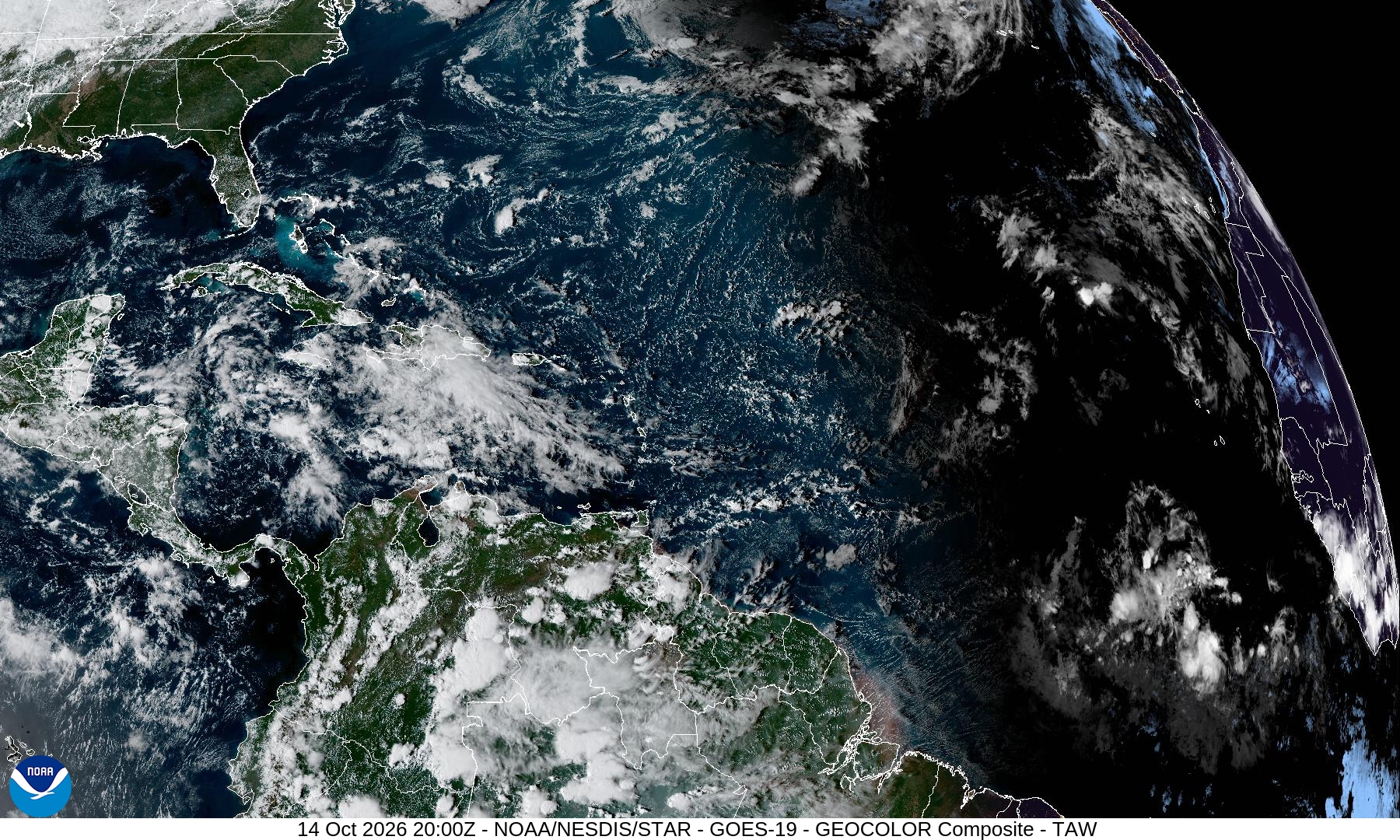
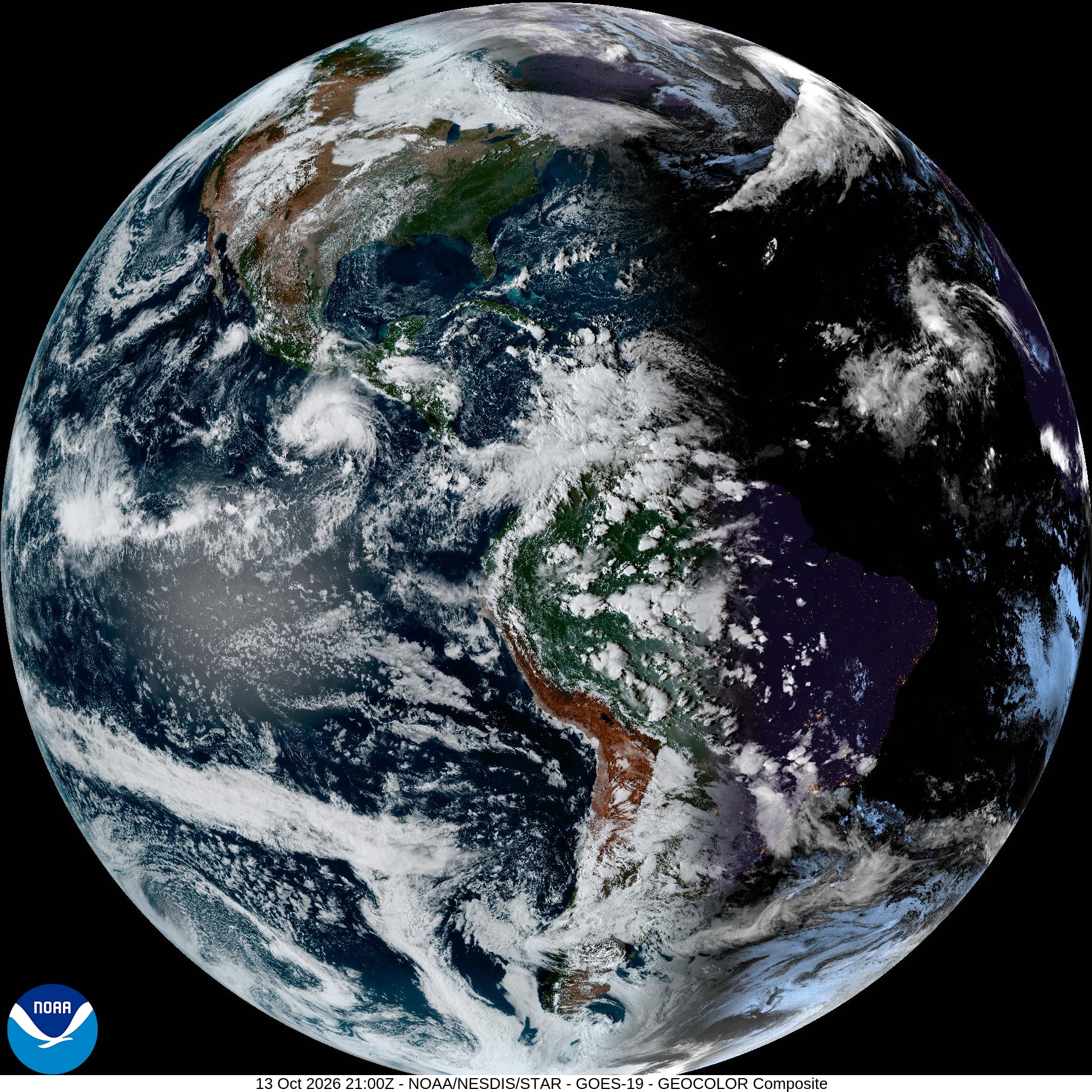
- Day 1 (Sun 18 Oct): Ridge holds. Winds 8–14 kt, variable W to NW across the western basin; 10–16 kt N in the Aegean. Smooth to slight seas, likely 0.5–1.2 m. No frontal activity. Satellite (Chart 6) confirms largely cloud-free Med.
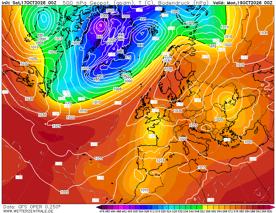
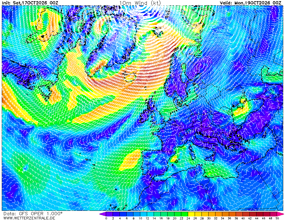
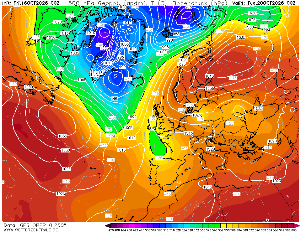
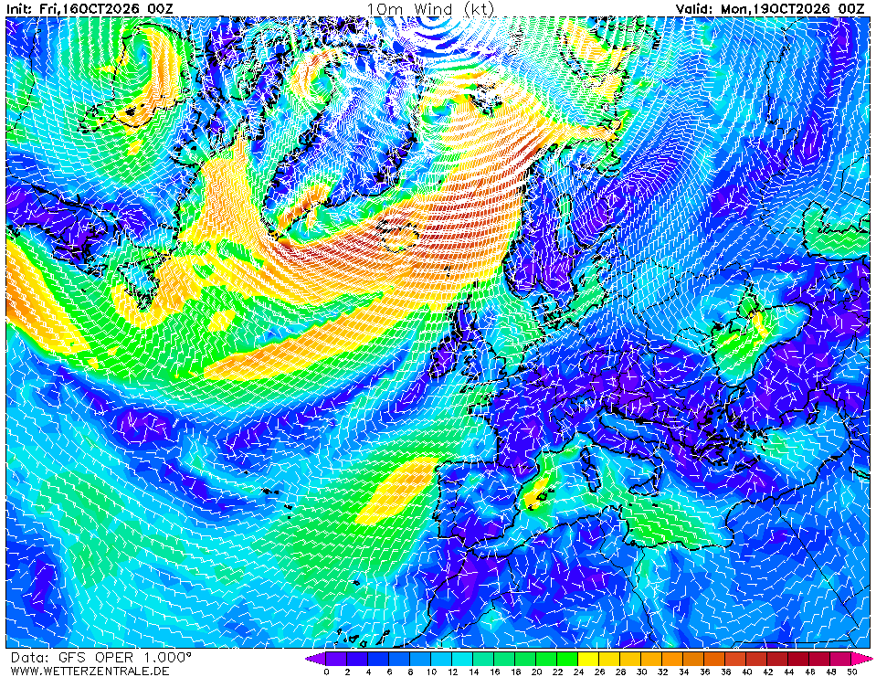
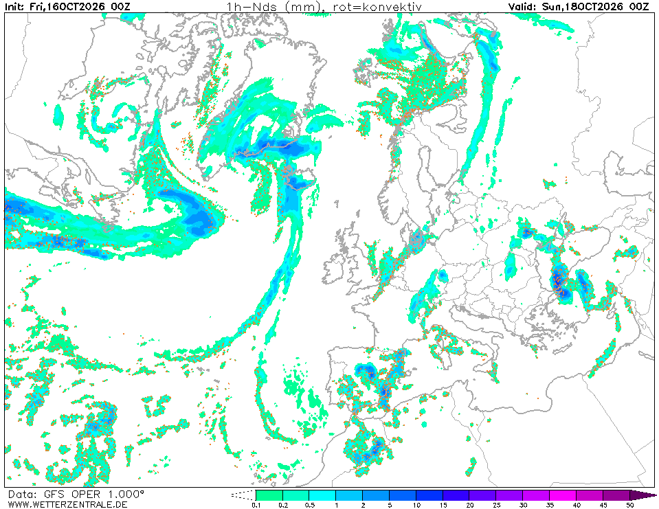
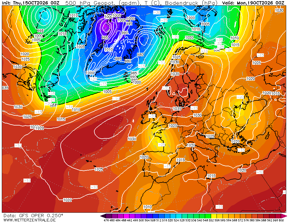
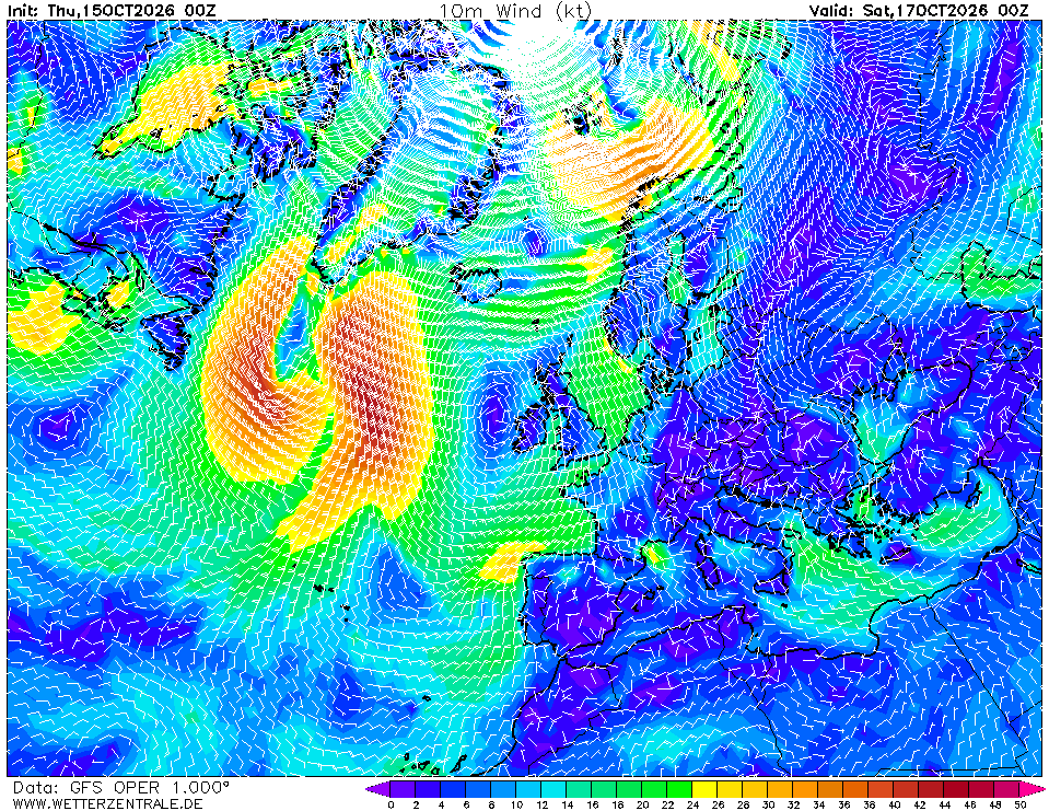
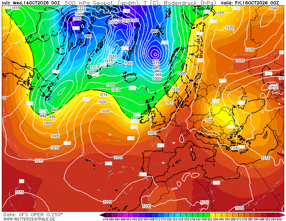
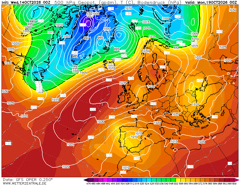
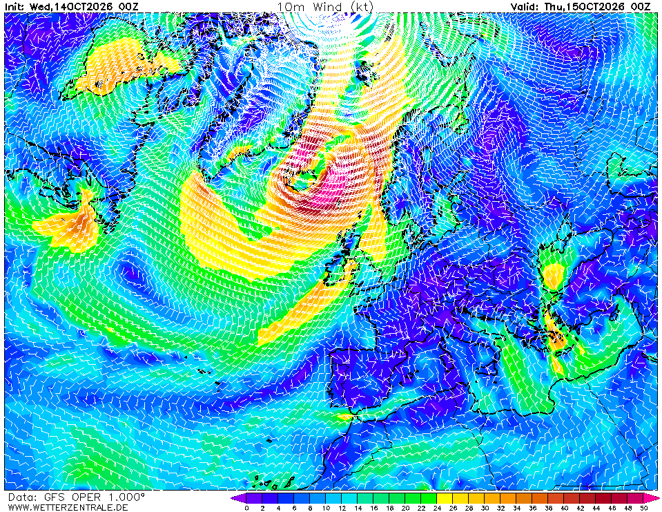
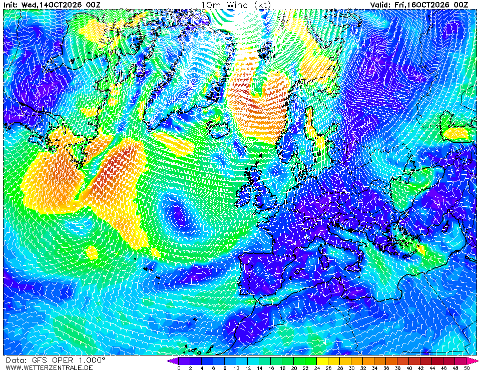
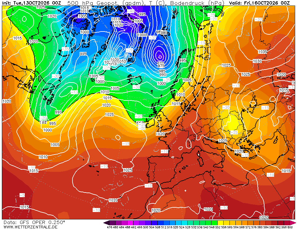
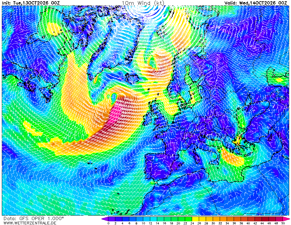
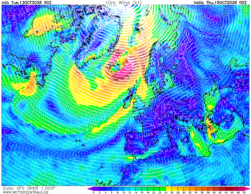
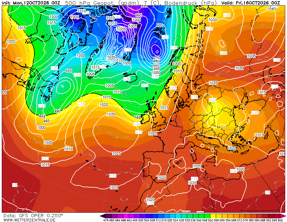
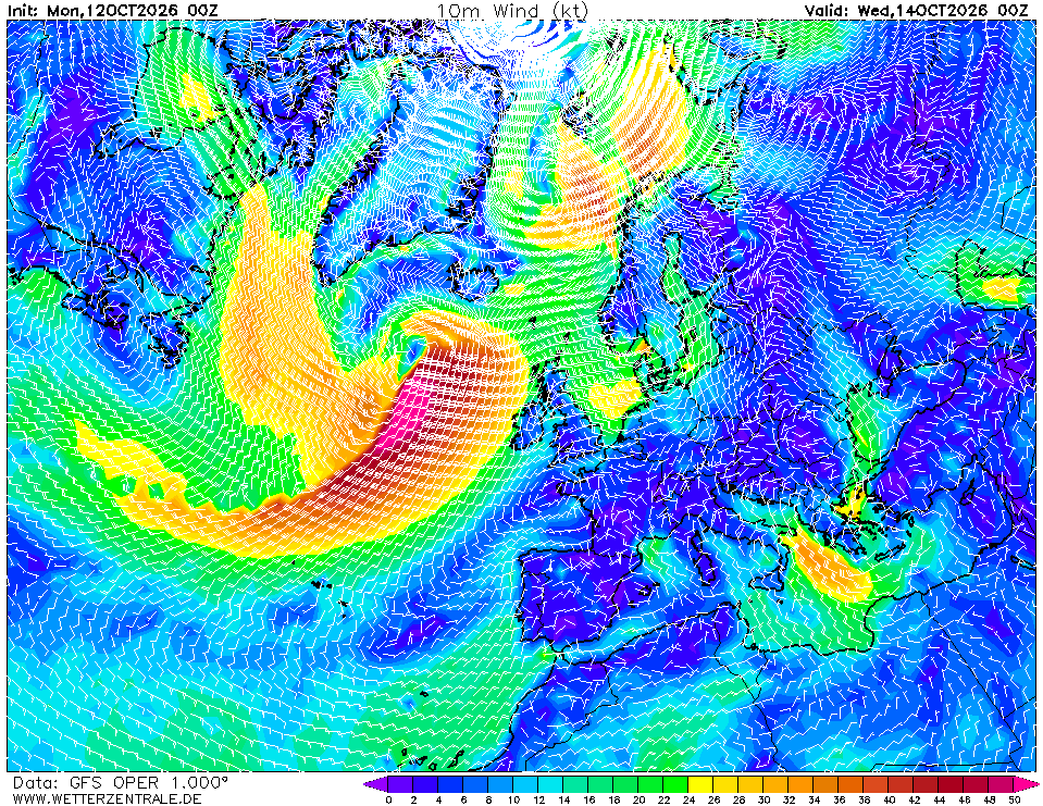
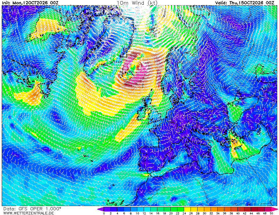
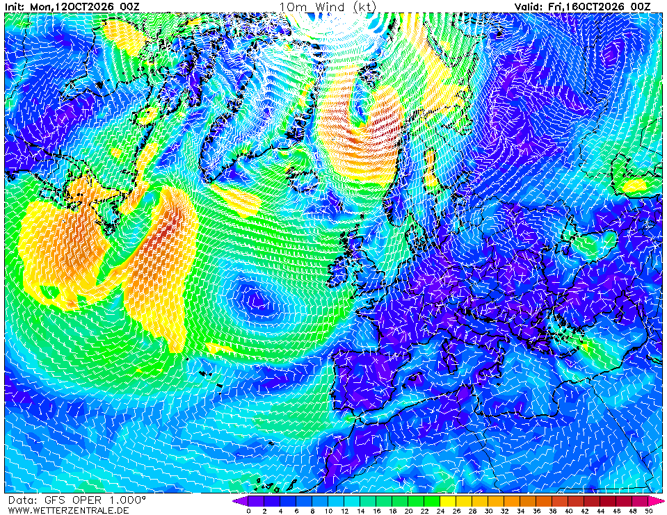
- Day 2 (Mon 19 Oct): By 00Z Monday (Chart 2) the Atlantic low deepens to ~975 hPa near Iceland, and Chart 5 shows the 35–45 kt core staying well north (55–65°N). Over the route: Gulf of Lion freshens to 20–25 kt NW (mistral signature), seas 1.5–2.5 m; elsewhere 10–16 kt, seas <1.5 m. Still no front across the basin.
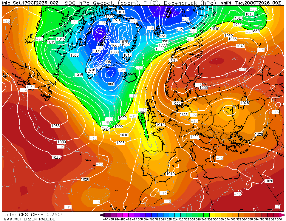
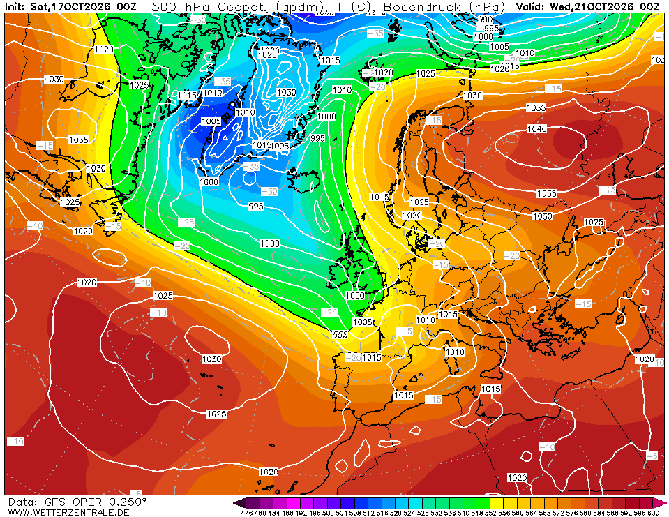
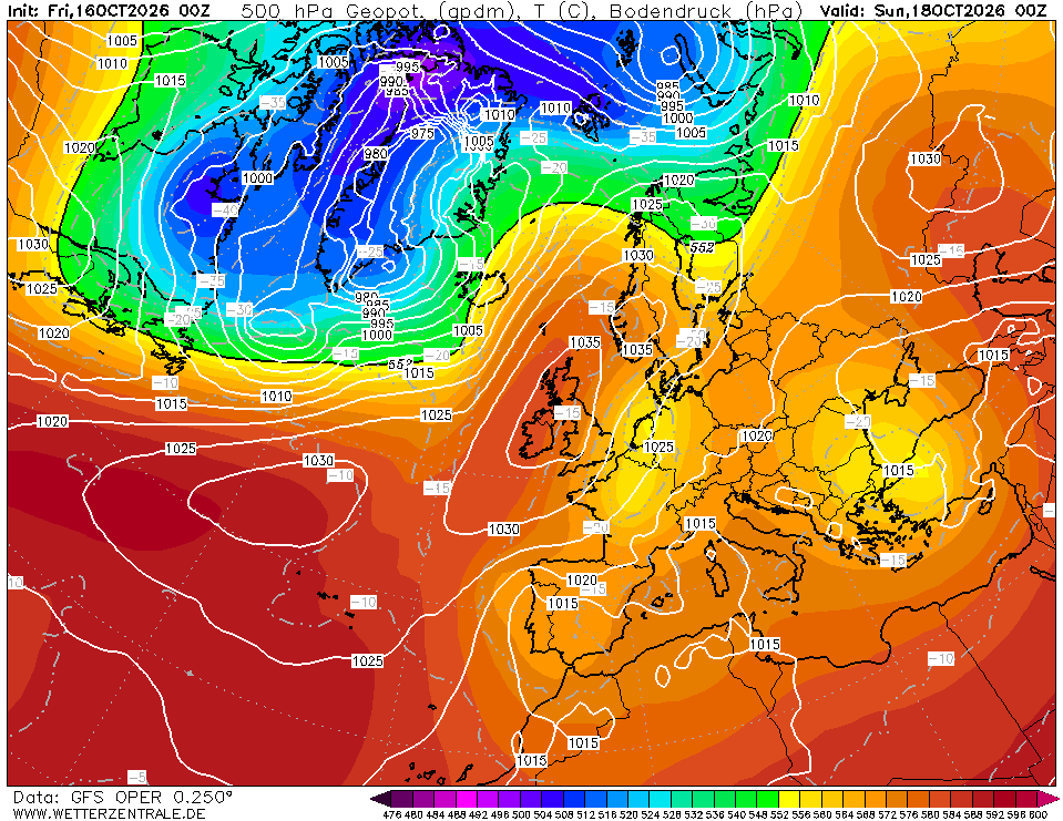
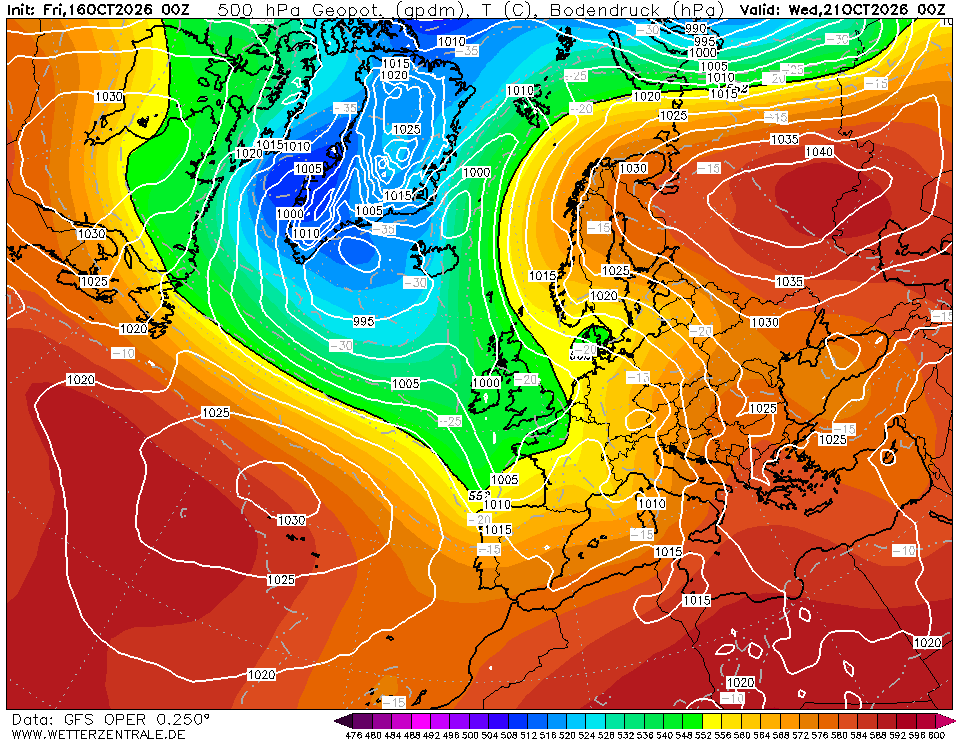
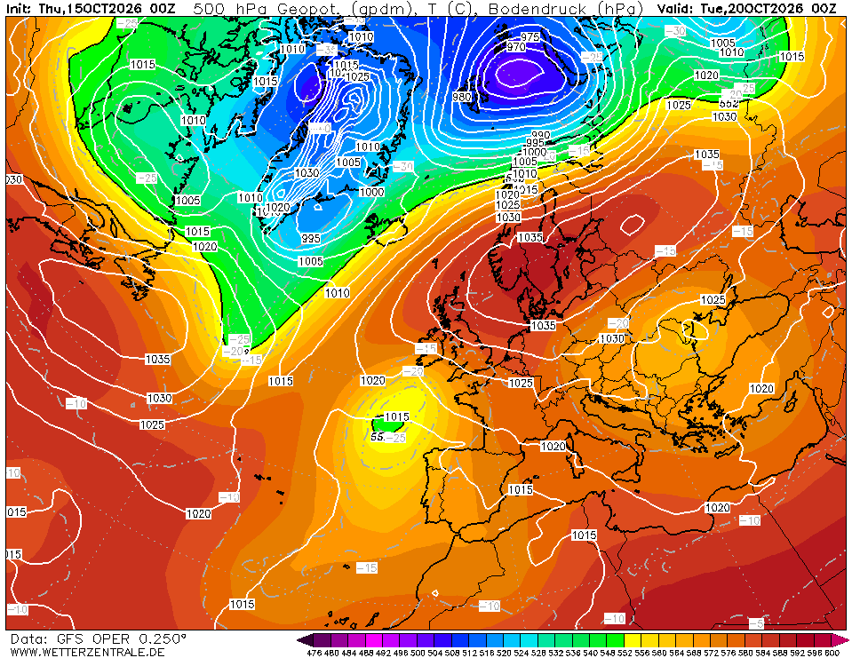
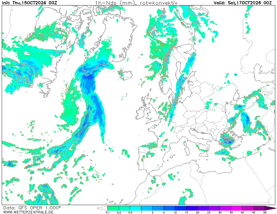
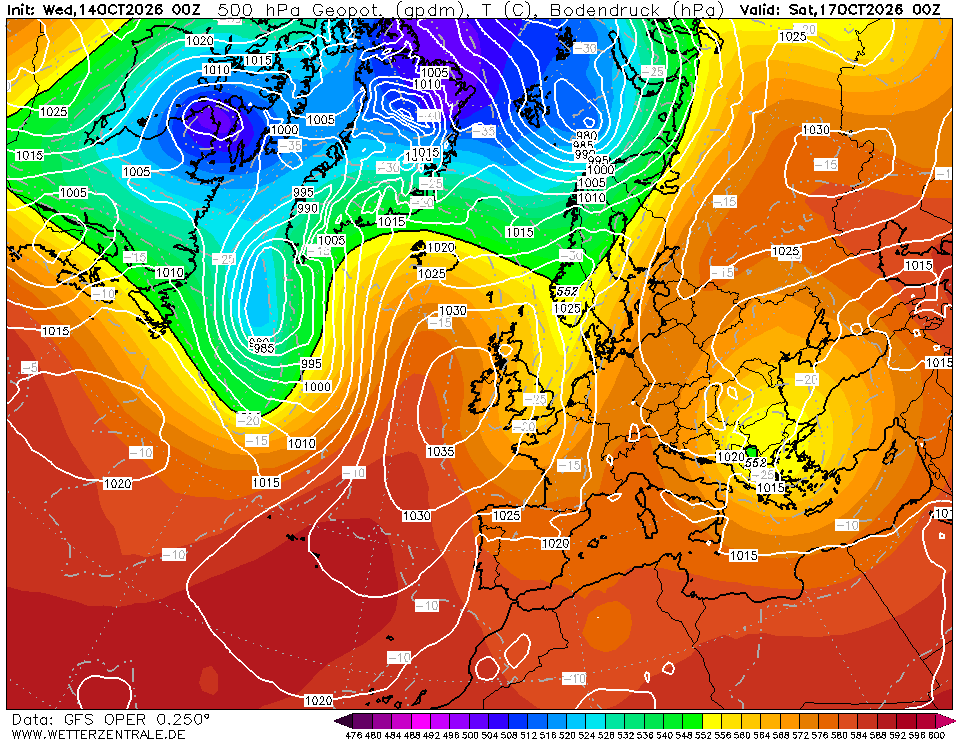
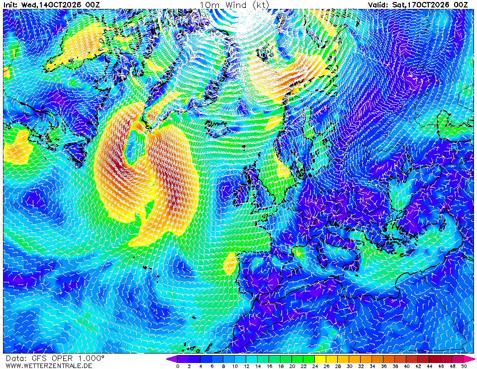
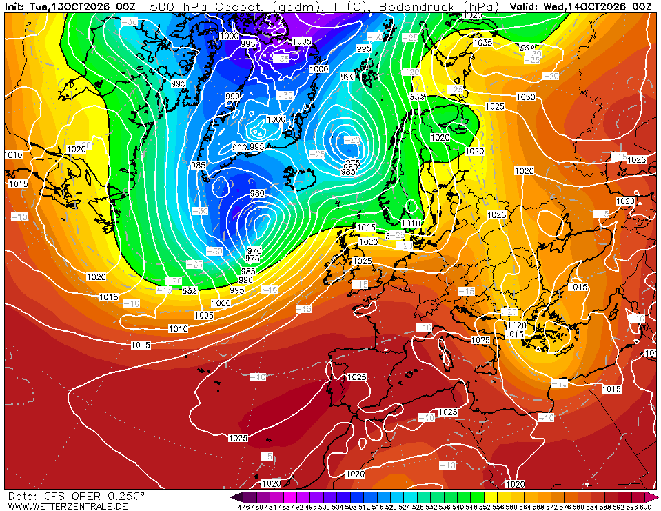
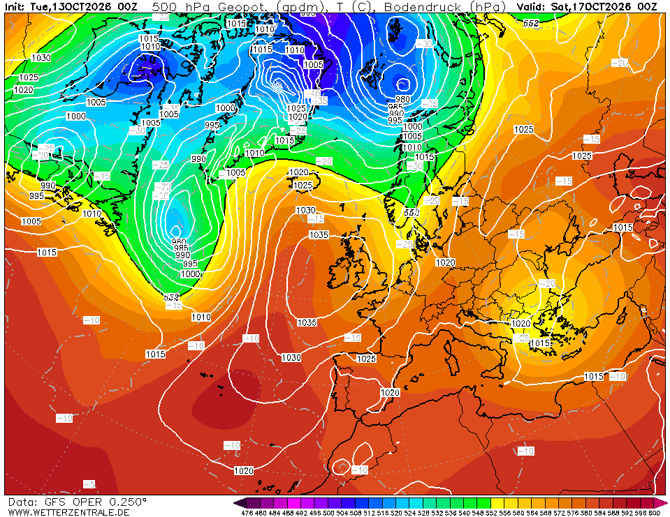
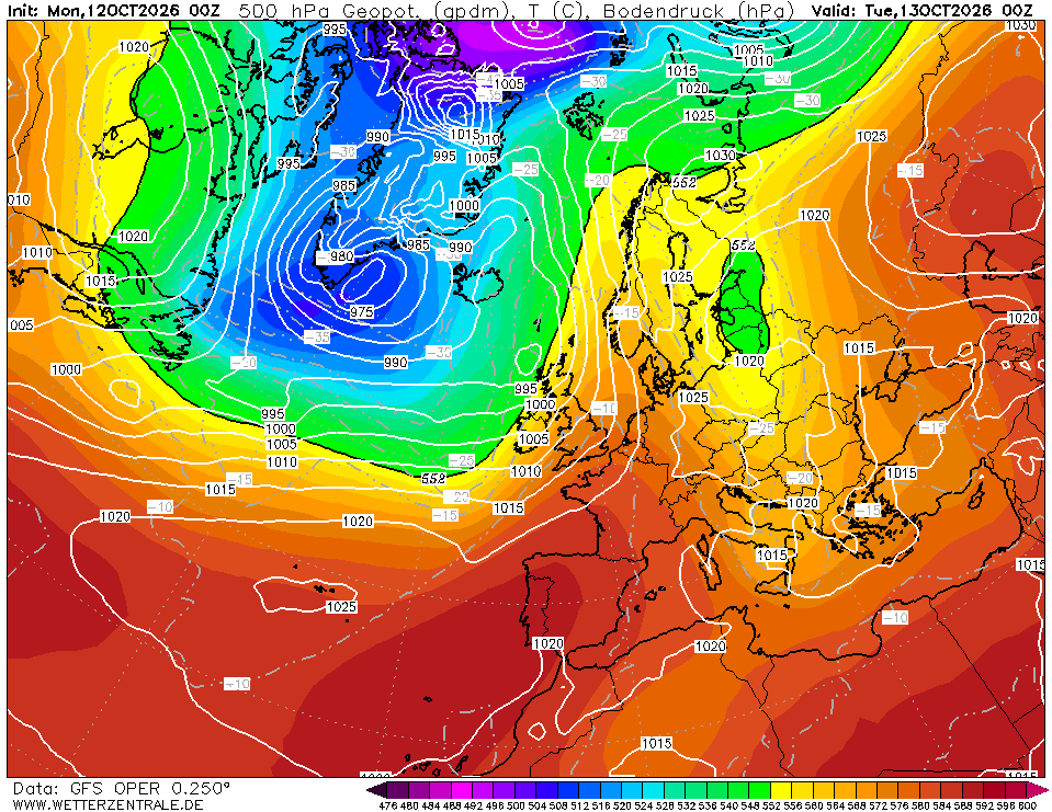
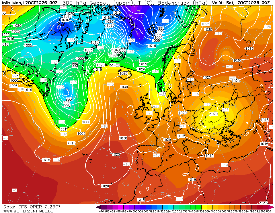
- Day 3 (Tue 20 Oct): Ridge begins flattening as the 500 mb trough (Chart 3, valid Wed 00Z) digs toward Iberia with 552 dam contour pressing south to ~40°N. Surface low 1005 hPa off western Iberia. Western Med winds back to SW 15–20 kt ahead of the trough; central/eastern Med remains 10–15 kt. First frontal signature possible over the Balearics late Day 3.
Top 3 risks to watch
- Mistral in the Gulf of Lion (Day 2). Charts 2 and 5 show tightening gradient between Azores ridge and Alpine lee trough. Uncertain exactly how far south the 25 kt core pushes. Trigger: barometer rising >1022 hPa with NW backing — expect gusts 30+ kt and short steep seas; alter south of 41°N.
- Atlantic trough arriving Day 4–5. Chart 3 shows the 500 mb trough reaching Iberia with surface low 1005 hPa. GFS beyond 96 hr is uncertain. Trigger: Gibraltar/Alboran pressure falling >3 hPa/6 hr — westbound legs should be completed or sheltered.
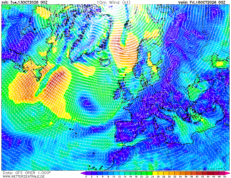
- Aegean N'ly reinforcement. Chart 5 hints at persistent 15–20 kt N'ly between Greece and Turkey. Trigger: sustained 20+ kt with building swell on nose — delay Cyclades crossings until gradient relaxes.
Routing considerations
Window is open now. Days 1–2 are benign east of the Balearics. If westbound through the Gulf of Lion, depart within 24 hr or wait until Day 4 after the mistral eases. Favour the southern semicircle of the approaching Day-3 trough — stay south of 40°N when possible. Aegean legs: go early in the window. Verify against ECMWF and local port forecasts before each leg.
Advisory only — confirm with your own observations and fresher model runs underway.